Tropical depression may enter PH Tuesday – Pagasa

MT Satellite image October 28, 2013, Monday, 7:30 AM. Screengrab from https://www.pagasa.dost.gov.ph/
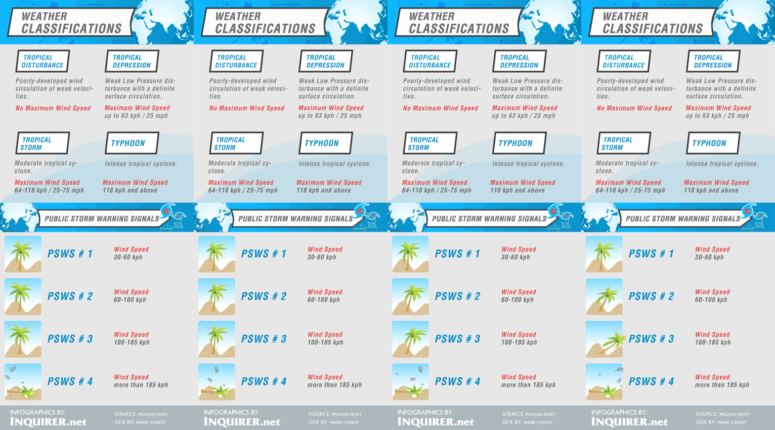
MANILA, Philippines – A tropical depression was spotted over the Pacific Ocean and may enter the Philippine area of responsibility (PAR) by Tuesday afternoon, the state weather bureau said Monday.
The tropical depression was on the eastern part of Luzon and might enter the PAR by Tuesday afternoon on the northern part of Luzon, Jori Loiz of the Philippine Atmospheric Geophysical and Astronomical Services Administration (Pagasa) said.
Loiz could not yet say, however, if it would make landfall.
Meanwhile, rains were forecast in parts of the country on Monday’s barangay elections, as an intertropical convergence zone is affecting Palawan and Mindanao and the northeast monsoon is affecting Northern Luzon.
“Palawan and Mindanao will have cloudy skies with light to moderate rainshowers and thunderstorms,” Pagasa said.
Article continues after this advertisementMetro Manila, the regions of Ilocos, Cordillera, Cagayan Valley and Bicol will experience partly cloudy to cloudy skies with isolated light rains. The rest of the country will be partly cloudy to cloudy with isolated rainshowers or thunderstorms mostly in the afternoon or evening.
Article continues after this advertisementModerate to occasionally strong winds blowing from the northeast will prevail over Northern and Central Luzon and the coastal waters along these areas will be moderate to occasionally rough, Pagasa said.
Elsewhere, winds will be light to moderate coming from the northeast to northwest with slight to moderate seas, it added.
