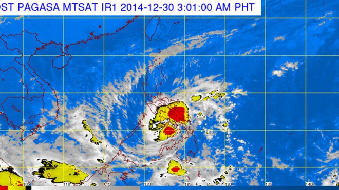
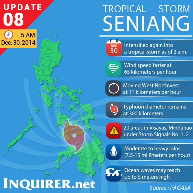
‘Seniang’ again intensifies into tropical storm

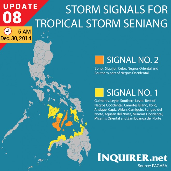
In a weather update issued at 2:30 a.m., the Philippine Atmospheric, Geophysical & Astronomical Services Administration (Pagasa) raised Public Storm Signal No. 2 over Bohol, Siquijor, Southern Cebu,
Negros Oriental and the southern part of Negros Occidental. These areas will have stormy weather with heavy to intense rains, Pagasa said.
Winds of 61-100 kph is expected in 24 hours in areas under Signal 2.
Pagasa raised Public Storm Signal No. 1 over Guimaras, Leyte, Southern Leyte, Camotes Island, the rest of Cebu, the rest of Negros Occidental, Iloilo, the southern part of Antique, Camiguin, Surigao del Norte,
Agusan del Norte, Misamis Occidental, Misamis Oriental and Zamboanga del Norte.
Article continues after this advertisementIn areas under Signal No. 1, winds of 30 to 60 kph are expected in 36 hours. These areas will have moderate to heavy rains with occasional gusty winds.
Article continues after this advertisementPagasa warned residents in low-lying and mountainous areas where both signals 1 and 2 were raised to be on alert for possible flashfloods and landslides.
Pagasa said ocean waves may reach up to 5 meters.
RELATED STORIES
Tropical Storm ‘Seniang’ weakens into tropical depression
‘Seniang’ maintains strength; Signal No. 2 up in 11 areas

