LPA exits PAR; Northeasterly winds to affect PH weather

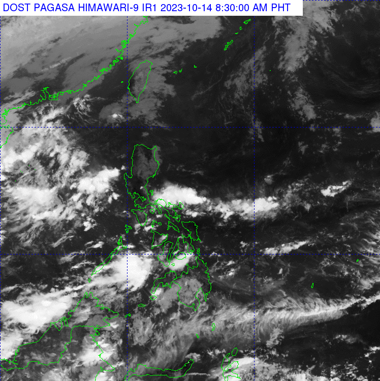
The northeasterly winds flow near Northern Luzon, as seen in the October 14, 2023 satellite image. (Photo from Pagasa)
MANILA, Philippines — Now that the low pressure area (LPA) off the West Philippine Sea left the Philippine area of responsibility (PAR), the state weather bureau said on Saturday that only the northeasterly surface wind flow affects the country’s weather.
According to the Philippine Atmospheric, Geophysical and Astronomical Services Administration (Pagasa), the said LPA exited PAR early Saturday, and it no longer has a direct effect on the country.
However, the weather bureau noted that the northeasterly surface wind flow observed near Northern Luzon affects the area.
“Ang nakaaapekto ngayon sa ating bansa [ay] itong northeasterly surface wind flow sa bandang Northern Luzon,” Aldczar Aurelio said on their morning weather forecast.
(What currently affects the country’s weather is the northeasterly surface wind flow near Northern Luzon.)
Article continues after this advertisement“Bukod dito, wala na po tayong inaasahan o namo-monitor na panibagong low pressure area o bagyo na maaaring pumasok sa ating Philippine area of responsibility,” he added.
Article continues after this advertisement(Aside from this, we are not expecting or monitoring a new low pressure area or tropical depression that may enter the Philippine area of responsibility.)
Based on the agency’s forecast weather conditions, the northeasterly surface wind flow will bring partly cloudy to cloudy skies with isolated light rains in Northern Luzon, particularly in Batanes, Cagayan, Isabela, Apayao, and Abra.
Metro Manila, and the rest of the country, on the other hand, will have partly cloudy to cloudy skies with isolated rain showers or thunderstorms due to localized thunderstorms and the northeasterly surface wind flow as well.
Pagasa did not raise any gale warning over the country’s seaboards, but it still advised sailors to take precautionary measures as thunderstorms are expected by afternoon and evening.