
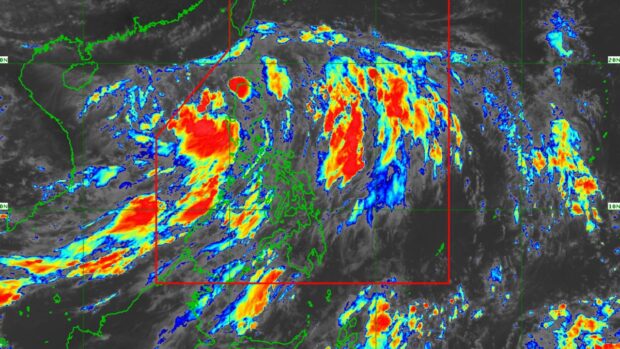
Tropical Depression Dodong. Weather satellite image from Pagasa’s website.
MANILA, Philippines — Tropical Depression Dodong maintained its strength as it crossed the northwestern portion of Cagayan province before noon Friday.
Based on the latest advisory of the Philippine Atmospheric, Geophysical and Astronomical Services Administration (Pagasa), Dodong’s center was in the vicinity of Allacapan, Cagayan, as it packed maximum sustained winds of 45 kilometers per hour (kph) and gustiness of up to 75 kph.
READ: #WalangPasok: Class suspensions for July 14 due to Tropical Depression Dodong
READ: LIST: July 14 canceled flights due to Tropical Depression Dodong
Dodong was moving north-northwestward at 15 kph, the state weather bureau added.
The 12 areas under Signal No. 1 as of 11 a.m. on Friday, July 14, are:
- Cagayan
- Isabela
- Apayao
- Kalinga
- Abra
- Mountain Province
- Ifugao
- Benguet
- Ilocos Norte
- Ilocos Sur
- La Union
- northern portion of Pangasinan

According to Pagasa, areas under Signal No. 1 may directly experience the impact of Dodong within 36 hours and may face “minimal to minor threat to life and property.”
READ: Pagasa says Tropical Depression Dodong to leave PAR over the weekend
“Dodong is forecast to move westward or west-northwestward across the northern portion of mainland Northern Luzon and may emerge over the waters west of Ilocos Province later this afternoon or evening. Afterward, Dodong will generally move northwestward over the West Philippine Sea until it exits the Philippine Area of Responsibility on [Saturday, July 15] or on [Sunday, July 16],” Pagasa said.
It also said that Dodong, which started as a low-pressure area, may enhance the southwest monsoon, locally called habagat, and trigger gusty conditions as well as moderate to heavy rain in Mimaropa, Bicol Region, Western Visayas, Calabarzon, Metro Manila, and other areas of Central Luzon on Friday.