Typhoon Henry weakens further, but movement slows down
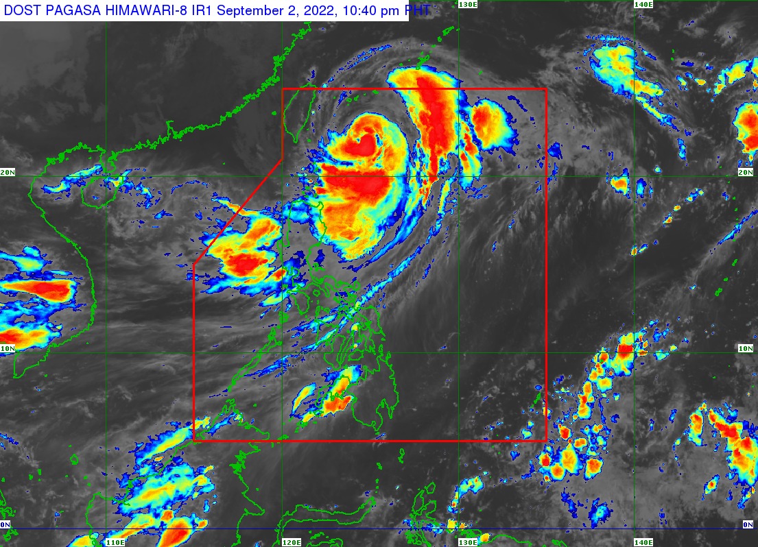
Pagasa weather satellite image as of 10:40 PM, Sept. 2.
MANILA, Philippines — Typhoon Henry weakened further o Friday night, but its movement slowed down according to latest updates from the Philippine Atmospheric, Geophysical and Astronomical Services Administration (Pagasa).
Pagasa’s bulletin at 11:00 p.m. showed that Henry now has maximum sustained winds of 150 kilometers per hour (kph) near the center, and gustiness of up to 185 kph.
Just this afternoon, Henry’s maximum sustained winds were at 155 kph.
The cyclone was last seen 345 kilometers east northeast of Itbayat, Batanes, and is moving west-northwest slowly. Pagasa expects Henry to then move north-northwest by Saturday, and may be located 485 kilometers north northeast of Itbayat.
Between Saturday night and Sunday morning, Henry would have exited the Philippine area of responsibility. By 8:00 a.m. on Sunday, Pagasa expects the typhoon to be at 665 kilometers north northeast of Itbayat.
Article continues after this advertisementAs of now, the whole province of Batanes is still under Tropical Cyclone Wind Signal No. 2, while Babuyan Islands and the northeastern portion of mainland Cagayan are still under Signal No. 1.
Article continues after this advertisementFrom Friday night to Saturday morning, Pagasa said that moderate to heavy rains are likely over Batanes and Babuyan Islands, while the northern and eastern portions of Cagayan may experience light to moderate rains with at times heavy rainfall.
But from Saturday morning to afternoon, moderate to heavy rains would only affect Batanes, while light to moderate rains with at times heavy rains may be felt over the Babuyan Islands.
The state weather bureau also warned that rains would also be felt over Isabela, the western portion of Central Luzon, the rest of Cordillera Administrative Region, and other parts of Luzon due to the southwest monsoon which was intensified by Henry.
Due to the said conditions, Pagasa is warning the public about the possibility of flash floods in low-lying areas, and landslides for those living near mountain slopes.
A gale warning also remains raised over the seaboards of Northern Luzon and the eastern waters of Central Luzon. Meanwhile, the seaboards of Southern Luzon may see a moderate to rough sea condition, with waves reaching heights of 1.2 meters to 3.0 meters.