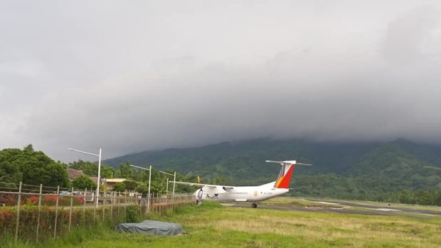
Remote Batanes braces for Super Typhoon Henry
ITBAYAT — Using fishing nets and bamboo trellis, residents in this northernmost province continued securing their roofs and windows as strong to gale-force winds associated with Super Typhoon “Henry” (international name: Hinnamnor) were expected on Thursday.
Light rains were already experienced in the island province on Thursday afternoon, and local officials barred fishing boats and other small seacraft from venturing out into the sea.
In this town, classes at all levels were suspended hours before tropical cyclone wind Signal No. 1 was hoisted over the entire province and the northeastern portion of the Babuyan Islands around 5 p.m. on Thursday.
Workers were seen placing wooden window shutters at the Itbayat District Hospital in anticipation of strong winds.
In the island town of Calayan in Cagayan province, classes at all levels in public and private schools were suspended.
Article continues after this advertisementOut of PAR by weekend
According to the 5 p.m. bulletin of the Philippine Atmospheric, Geophysical and Astronomical Services Administration (Pagasa), the center of the eye of Henry was last spotted 400 kilometers east-northeast of Itbayat.
Article continues after this advertisementIt has maximum sustained winds of 185 km per hour near the center, gustiness of up to 230 kph, and it is moving south-southwestward at 15 kph.
Pagasa said moderate to heavy rains will prevail over Batanes and Babuyan Islands on Friday due to the typhoon, prompting the weather bureau to place the provinces under Signal No. 1, which may bring strong winds in the next hours.
By early Saturday morning until the afternoon, the weather bureau said moderate to heavy rains are possible over Batanes while Babuyan Islands will experience light to moderate with at times heavy rains.
Henry was also forecast to become “almost stationary” as it is expected to decelerate south-southwestward. Based on the forecast track, Henry is likely to exit the Philippine area of responsibility (PAR) by Saturday evening or Sunday morning.
Persistent flooding
In Pampanga province, the town of Masantol was placed under a state of calamity on Wednesday due to persistent flooding that could worsen due to Henry.
Classes in the town were also suspended on Wednesday afternoon.
At least 19 villages in Masantol remained submerged in floodwater that reached up to 2 feet to 4 feet (0.6 meter to 1.2 meters) high due to high tides and monsoon rains, according to the provincial disaster risk reduction and management council.
Pampanga Gov. Dennis Pineda directed the mayors of 19 towns and two cities in the province to prepare personnel, equipment, facilities, food and medical supplies in preparation for the impact of Henry.
Pineda also authorized officials to order preemptive or forced evacuation in villages where the risks of landslides, floods and other dangers were high. — NATHAN ALCANTARA, TONETTE OREJAS AND VILLAMOR VISAYA JR.
