
Pagasa weather satellite image
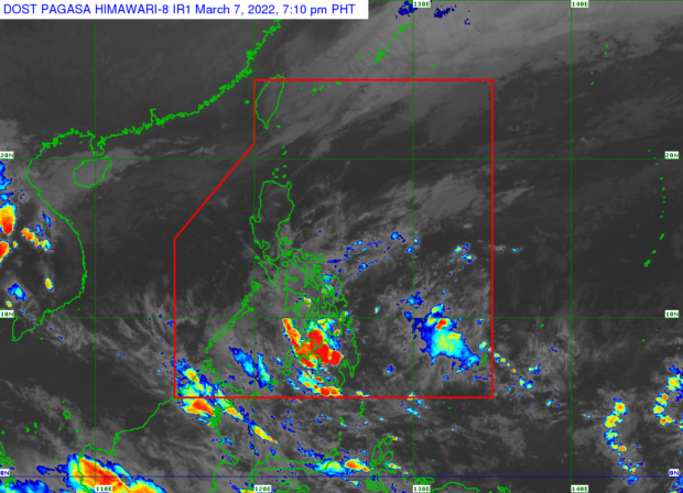
MANILA, Philippines — Rain is expected to occur over the entire Visayas and most parts of Mindanao on Tuesday due to the low-pressure area (LPA) east of Davao City, the Philippine Atmospheric, Geophysical and Astronomical Services Administration (Pagasa) said.

According to Pagasa senior weather specialist Chris Perez, the LPA was last seen 120 kilometers east of Davao City.
“Patuloy na inaasahang kikilos pakanluran at maapektuhan pa rin ang buong Visayas at nakakaraming bahagi ng Mindanao nitong binabantayan nating LPA,” he said.
(The LPA is expected to continue to move westward and still affect the entire Visayas and most parts of Mindanao.)
“Maulap, kalat-kalat ang mga pag-ulan, at pagkidlat at pagkulog sa Zamboanga del Norte, Northern Mindanao, Caraga, Davao Region at buong Visayas,” he also said.
(Cloudy skies, scattered rain, and lightning and thunder may be expected in Zamboanga del Norte, Northern Mindanao, Caraga, Davao Region and throughout the Visayas.)
Pagasa added that the trough of the LPA will bring overcast skies and rain over the Bicol Region.
Temperature range in key cities/areas nationwide on Tuesday, meanwhile, will be as follows:
- Metro Manila: 23 to 32 degrees Celsius
- Baguio City: 25 to 23 degrees Celsius
- Laoag City: 21 to 30 degrees Celsius
- Tuguegarao: 21 to 30 degrees Celsius
- Legazpi City: 24 to 30 degrees Celsius
- Puerto Princesa City: 25 to 32 degrees Celsius
- Tagaytay: 20 to 29 degrees Celsius
- Kalayaan Islands: 26 to 32 degrees Celsius
- Iloilo City: 25 to 29 degrees Celsius
- Cebu: 25 to 29 degrees Celsius
- Tacloban City: 24 to 30 degrees Celsius
- Cagayan De Oro City: 24 to 29 degrees Celsius
- Zamboanga City: 24 to 32 degrees Celsius
- Davao City: 24 to 32 degrees Celsius
The state weather bureau also said that it is raising a gale warning over the seaboards of Batanes, northern coast of Cagayan including Babuyan Islands, and northern coast of Ilocos Norte due to the effects of the northeast monsoon, which is locally termed as amihan.
Perez said that rough to very rough sea conditions could be expected in these areas.
RELATED STORY
LPA enters PAR, rain expected in Southern Luzon, Visayas, Mindanao