Pagasa sees ‘Bavi’ weakening as it enters PAR Tuesday
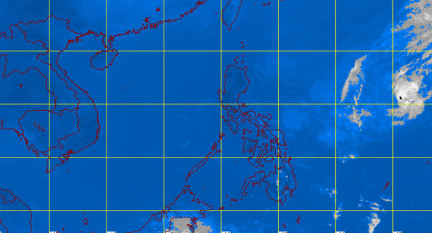
MT Satellite image March 17, 2015 12:01 p.m. Screengrab from https://pagasa.dost.gov.ph/index.php/
MANILA, Philippines–Tropical storm “Bavi” is expected to weaken as it enters the Philippine area of responsibility (PAR) Tuesday afternoon.
Light to moderate rains are seen within 500 kilometers of Bavi, which will be locally named “Betty” when it enters PAR, the Philippine Atmospheric, Geophysical and Astronomical Services Administration said.
The storm was last spotted 1,530 kilometers east of Casiguran, Aurora. It packed maximum sustained winds of 65 kilometers per hour and gusts of up to 80kph.
It moved west northwest at a speed of 20 kph.
Pagasa said Bavi may affect Central and Northern Luzon on Friday.
Article continues after this advertisementRELATED STORIES
Article continues after this advertisement‘Bavi’ expected to enter PAR Tuesday, make landfall Friday—Panahon TV
Tropical storm ‘Bavi’ slows down, to enter PAR Tuesday