Monsoon rain to persist in N. Luzon; cloudy skies over NCR, rest of island
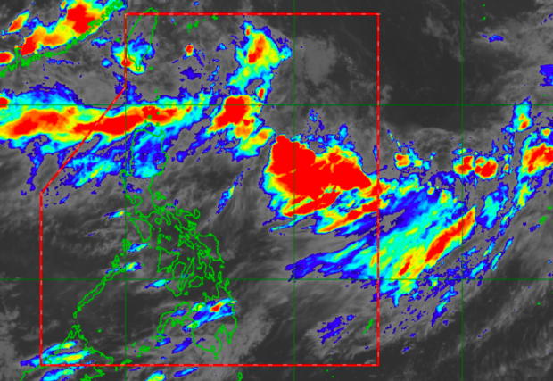
MTSAT/Pagasa
MANILA, Philippines – Monsoon rain will continue in northern Luzon, while cloudy skies are predicted across the rest of the island, including Metro Manila, from Monday night through Tuesday.
“Asahan ng mga kababayan natin ‘yung mga katamtaman hanggang sa may kalakasang pagulan dito sa Ilocos region, sa Batanes, Babuyan group of islands, sa lalawigan ng Abra at Apayao,” said senior weather specialist Chris Perez of the Philippine Atmospheric, Geophysical and Astronomical Services Administration (Pagasa).
(We should expect moderate to heavy rain in the Ilocos region, in Batanes, Babuyan group of islands, in the provinces of Abra and Apayao)
Meanwhile, cloudy with occasional rain is expected over Central Luzon, specifically: Zambales, Bataan, Tarlac, Pampanga, Bulacan, Occidental Mindoro, Cagayan Valley and parts of the Cordillera Administrative Region, said Perez.
Article continues after this advertisementOn the other hand, Metro Manila and the rest of Luzon will experience slightly cloudy to cloudy weather with chances of sudden scattered rain due to localized thunderstorms.
Article continues after this advertisementHot and sunny weather is expected in Visayas and Mindanao but scattered rain also due to thunderstorms are still likely to occur.
The forecast temperature range in key cities/areas:
Metro Manila: 25 to 31 degrees Celsius
Baguio City: 17 to 19 degrees Celsius
Laoag City: 25 to 29 degrees Celsius
Tuguegarao: 26 to 24 degrees Celsius
Legazpi City: 27 to 32 degrees Celsius
Puerto Princesa City: 25 to 33 degrees Celsius
Tagaytay: 23 to 29 degrees Celsius
Kalayaan Islands: 27 to 31 degrees Celsius
Iloilo City: 26 to 32 degrees Celsius
Cebu: 26 to 34 degrees Celsius
Tacloban City: 26 to 36 degrees Celsius
Cagayan De Oro City: 24 to 37 degrees Celsius
Zamboanga City: 24 to 35 degrees Celsius
Davao City: 25 to 33 degrees Celsius
According to Perez, Pagasa would continue to monitor the low-pressure area (LPA) last spotted 460 km northeast of extreme Northern Luzon, while a tropical depression is also being monitored 3,325 km east of Extreme Northern Luzon.
The LPA is not expected to evolve into a storm within 12 to 24 hours, while a tropical depression also isn’t expected to enter the Philippine Area of Responsibility. Both, however, are still expected to affect the southwest monsoon, or what is locally known as the Habagat.
A gale warning has also been raised over the northern, western seaboards of Northern Luzon and the western seaboard of Central and Southern Luzon.
“Hang’t maaari wag munang pumalaot dito ‘yung mga kababayan natin mangingisda at may mga maliliit na sasakiyang pandagat,” said Perez.
(Avoid sailing in these areas due to high waves, which may reach five meters.)