5 Metro Manila areas highly vulnerable to quakes

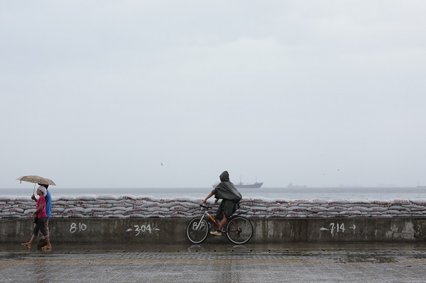
Baseco compound in Manila has been identified as one of five areas in Metro Manila that are highly vulnerable in case of a 7.2-magnitude or stronger quake due to evacuation difficulties, being prone to fire and collapse of buildings and their big populations. INQUIRER FILE PHOTO
Five areas in Metro Manila have been identified during the Earthquake Resilience Conference in Makati City yesterday as “highly vulnerable” in case of a 7.2-magnitude or stronger quake due to evacuation difficulties, being prone to fire and collapse of buildings and their big populations.
During the presentation of recommendations on the second day of the disaster preparedness seminar on Thursday, Ernesto Garilao, president of Zuellig Family Foundation, said these vulnerable areas were Bagong Silang and Batasan Hills in Quezon City, Addition Hills in Mandaluyong, Lupang Arenda in Taytay, Rizal province, and Baseco compound in Manila.
These places are not only those near the fault lines but also have a big population composed mostly of low-income families with limited access to basic services, he said.
Called to identify gaps in the disaster preparedness and response and areas where collaboration and coordination are needed, the conference was attended by some 200 participants from the government, nongovernment organizations, business groups, civil society and the media.
Garilao said it was estimated that 5 million out of the 12 million population in Metro Manila were considered “highly vulnerable” in case of a strong earthquake.
Article continues after this advertisement“The vulnerable sector is important because in case of an earthquake, initial chaos breaks out,” he said, noting that these people would do anything to have access to food, even forcing open stores and other business establishments.
Article continues after this advertisementGarilao said the present response capability in the capital was inadequate.
“Current local city management capability will always be inadequate primarily because of the magnitude of the disaster,” Garilao said. There is a strong need for collaborative efforts between the local government units (LGUs) and the private sector.
The LGUs of Quezon City, Makati City and Pasig City, which presented their disaster response plans for a strong earthquake, revealed that their response teams could only operate in the first 72 hours after the disaster.
If there will be no food and water for a day, the representatives of Makati and Pasig said they already have in place water purifying stations which will make use of the Pasig River.
In terms of emergency health services, the cities said hospitals could not accommodate the expected hundreds of injured individuals but said they will have field hospitals and personnel to accommodate residents.
Alexander Pama, executive director of the National Disaster Risk Reduction and Management Council, said the Valley Fault System Atlas, a handbook of large-scale maps of the possible disaster zone, was released by the Philippine Institute of Volcanology and Seismology (Phivolcs) to inform people which areas would be greatly affected by a quake.
“The best way for us to be prepared is to inform and educate our people. This is our first line of defense,” Pama added noting a disaster only happens when people are not prepared for it.
The active fault line could generate a 7.2-magnitude earthquake that could pulverize communities along its path, Phivolcs warned.
An earthquake that strong could leave 37,000 people dead, cause 140,000 serious injuries and an economic loss of P2.5 trillion in an 11-million square meter area, according to a study released in 2013.
Francis Tolentino, chair of the Metropolitan Manila Development Authority, in a radio interview yesterday proposed a one-day Metro-wide earthquake simulation exercise for people to know what exactly they needed to do in case the disaster hits the National Capital Region.
He said every office or building should also have a public safety officer, echoing a proposal during the resilience conference.
RELATED STORIES
Do you live in quake zone? New Phivolcs maps trace 100-km West Valley Fault