Satellite Image, September 18, 2014, 5:01 PM. SCREENGRAB from noah.dost.gov.ph
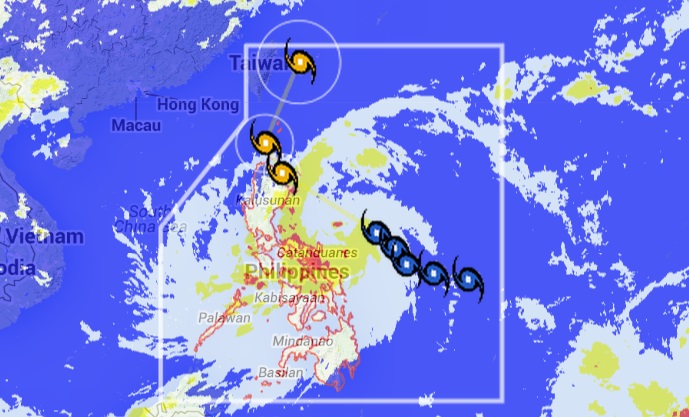
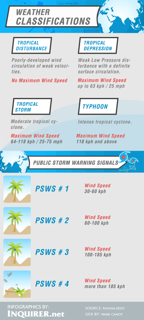
MANILA, Philippines—Tropical Storm “Mario” maintained its strength as it continued to approach Northern Luzon, prompting the weather bureau to raise Signal No. 2 in the affected areas.
In its latest bulletin, the Philippine Atmospheric, Geophysical and Astronomical Services Administration said that Cagayan, Northern Isabela and the Calayan and Babuyan Groups of Islands were now under Signal No. 2 as “Mario” moved at a pace of 26 kilometers per hour on a west northwest track.
“Mario” is packing maximum sustained winds of 65 kph near the center and gusts of 80 kph and was last spotted at at 576 km east of Infanta, Quezon at 4 p.m.
Catanduanes, the rest of Isabela, Northern Aurora, Quirino, Nueva Vizcaya, Ifugao, Mountain Province, Kalinga, Apayao, Abra, Ilocos Norte and Batames Group of Islands are under Signal No. 1.
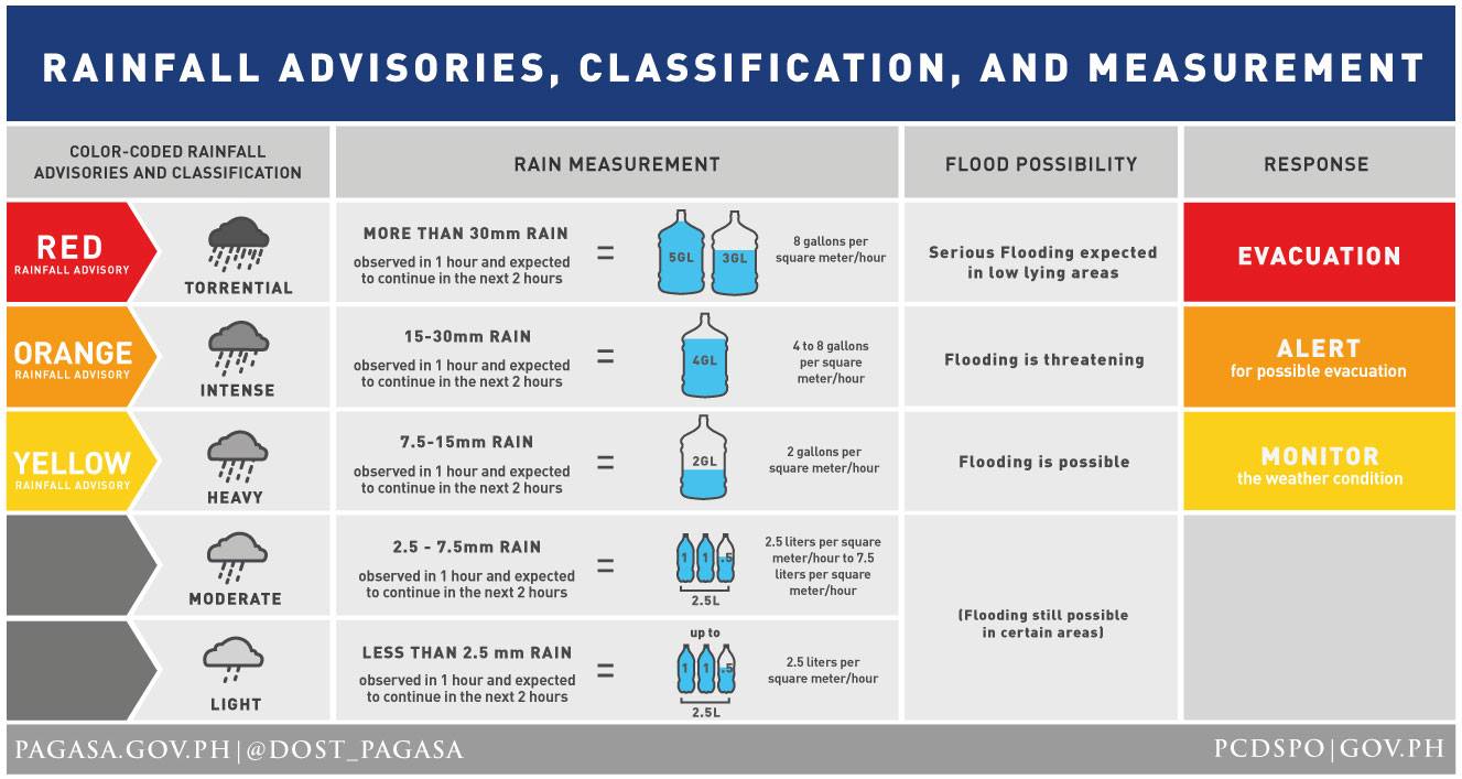
Pagasa also raised a yellow rainfall warning over Samar, Eastern Samar, Leyte, Biliran, Iloilo, Capiz, Antique, Guimaras, the northern portions of Cebu, Negros Oriental and Negros Occidental.
RELATED STORIES
Signal No. 1 up in 5 areas as ‘Mario’ shifts path–Pagasa
‘Mario’ gains strength, rains to fall over Bicol, Eastern Visayas
Tropical depression ‘Mario’ enters PAR, expected to exit Saturday