Pagasa: LPA to enter PH Sunday
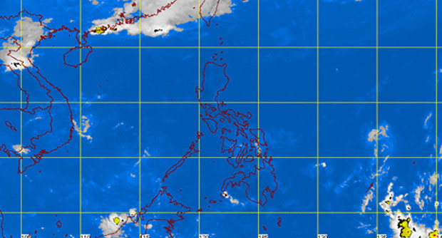
MANILA, Philippines—A low pressure area from the Pacific Ocean is forecasted to enter the Philippine area of responsibility on Sunday, the state weather bureau said Thursday.
The LPA is near southern Mindanao and if it acts based on its models, it could enter by Sunday, the Philippine Atmospheric Geophysical and Astronomical Services Administration (Pagasa) said.
It will be called “Domeng” if it intensifies into a tropical depression. Up to one tropical depression is forecast for April.
Meanwhile, the easterlies continue to affect the eastern section of the country.
The entire archipelago will experience partly cloudy to cloudy skies with isolated rainshowers or thunderstorms mostly in the afternoon or evening, Pagasa said.
Article continues after this advertisementTemperature in Metro Manila could reach up to 34 degrees Celsius on Thursday.
Article continues after this advertisementRELATED STORIES
LPA may intensify into cyclone anew; rains seen over Visayas — Pagasa
LPA expected to enter PH Tuesday evening onward
