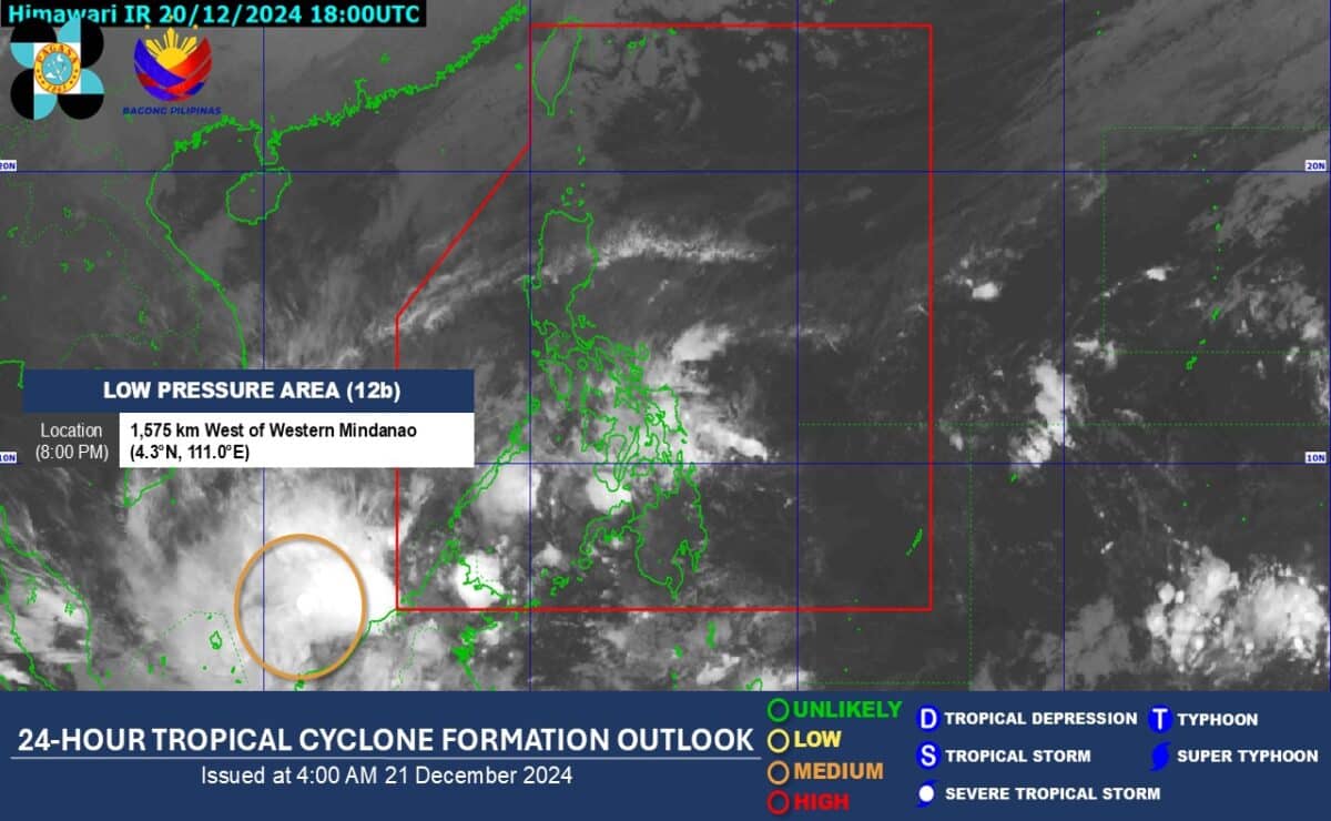
A new low-pressure area (LPA) is spotted off Mindanao on Saturday morning, Dec. 21, 2024, according to the Philippine Atmospheric, Geophysical and Astronomical Services Administration (Pagasa). The new LPA may intensify into a tropical cyclone within 24 to 48 hours, the state weather agency also said. (Image from the Philippine Atmospheric, Geophysical and Astronomical Services Administration)
MANILA, Philippines — A new low-pressure area (LPA) was spotted off Mindanao on Saturday mornings which may intensify into a tropical cyclone within 24 to 48 hours, the state weather agency said.
According to the Philippine Atmospheric, Geophysical and Astronomical Services Administration (Pagasa), the new LPA was located 1,575 kilometers west of Mindanao.
Pagasa specialist Grace Castañeda, however, noted that currently available data shows the potential tropical cyclone is not expected to enter the Philippine area of responsibility (PAR) and may only graze the PAR line, west of Palawan.
She nevertheless warned that the trough of the new LPA may bring scattered rain showers to parts of the Zamboanga Peninsula, as well as Basilan, Sulu, and Tawi-Tawi provinces.
READ: Pagasa: No cyclone expected to enter PAR until next week
The state weather agency likewise reported in its Saturday morning bulletin that the existing LPA within PAR which used to be Tropical Depression Querubin dissipated also on Saturday morning.
“At 2 a.m. today, the LPA we were monitoring inside our area of responsibility that was formerly Tropical Depression Querubin dissipated. It no longer has any effect on any part of the country,” Castañeda said in mixed Filipino and English.
Querubin weakened into an LPA last Wednesday, Dec. 18, after briefly intensifying into a tropical cyclone.