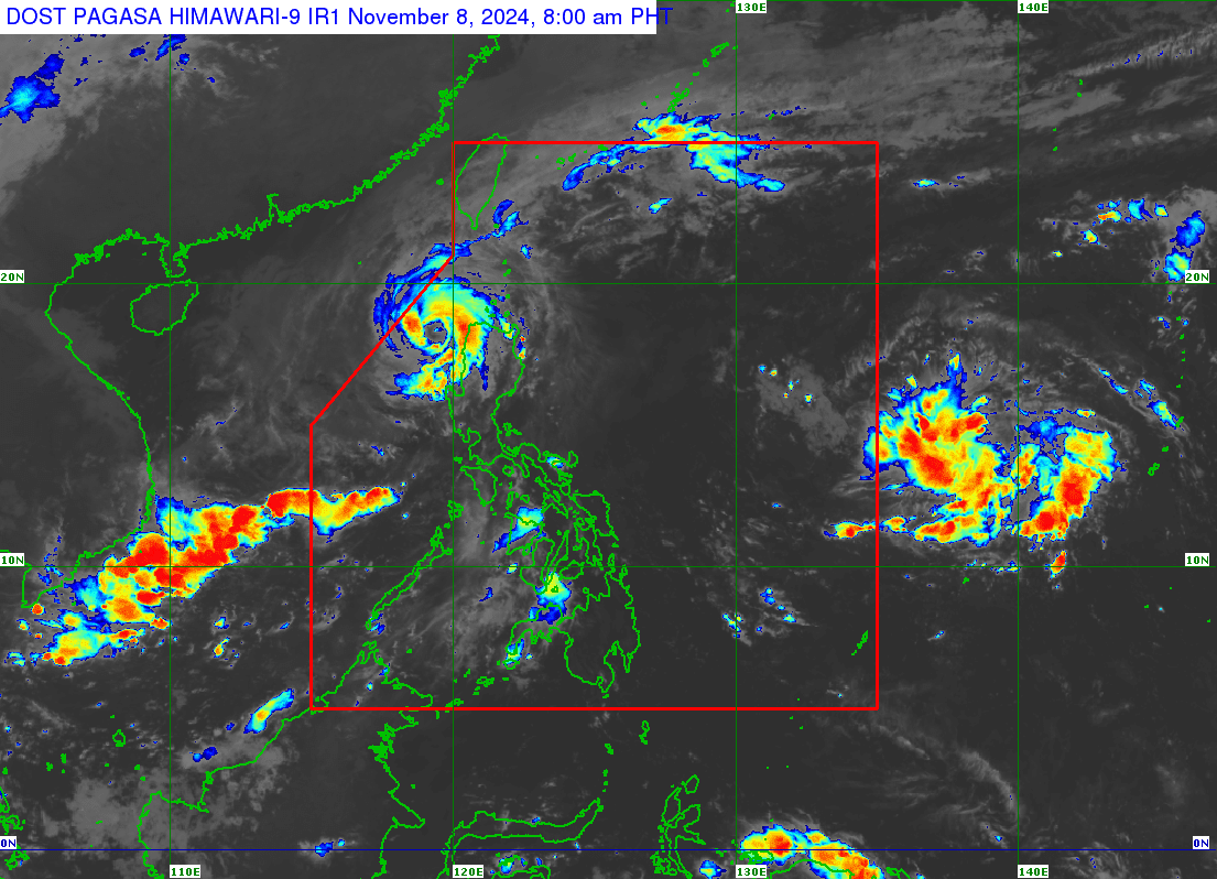
A new low-pressure area (LPA) may enter the Philippine area of responsibility (PAR) this Friday evening (November 8, 2924) or Saturday morning, according to the Philippine Atmospheric, Geophysical and Astronomical Services Administration (Pagasa) said. Weather satellite image from Pagasa
MANILA, Philippines — A new low-pressure area (LPA) may enter the Philippine area of responsibility (PAR) this Friday night or Saturday morning, the Philippine Atmospheric, Geophysical and Astronomical Services Administration (Pagasa) said.
According to Pagasa weather specialist Benison Estareja, the cloud clusters they were monitoring on the Pacific Ocean became an LPA early Friday morning.
“Based on our analysis and the movement of this low-pressure area, it’s possible to enter the Philippine area of responsibility later tonight or tomorrow morning,” he said in mixed Filipino and English during a briefing.
Estareja noted that the LPA was last located 1,975 kilometers east of southeastern Luzon as of 4 a.m. on Friday, November 8.
“We are still not ruling out the possibility this LPA will develop into a tropical depression once it enters the PAR,” he said in a mix of Filipino and English.
READ: Marce weakens as it crosses Ilocos Norte; to exit PAR within hours
Estareja also said the LPA will likely affect most parts of Luzon in the coming days.
Information on the new LPA’s impending entry to the PAR comes as Typhoon Marce (international name: Yinxing) lashed Northern Luzon.
Even as Marce weakened while crossing Ilocos Norte early Friday morning, Pagasa still placed many areas under Tropical Cyclone Wind Signals (TCWS) due to the expected effects of the typhoon last located over the coastal waters of Pasuquin municipality, moving west-northwestward at 10 kilometers per hour (kph) and packing maximum sustained winds of 155 kph and gustiness of up to 215 kph.
In its 5 a.m. typhoon bulletin, Pagasa said Marce is forecast to leave the PAR either by Friday afternoon or evening.
Marce first made landfall at Sta. Ana, Cagayan, at 3:40 p.m. on Thursday, and then at the coast of northwestern Cagayan on Thursday evening.