
Satellite image of Tropical Storm Leon (Kong-rey) issued on 11 p.m., Saturday, October 26 by Pagasa. —Photo from Pagasa/Facebook
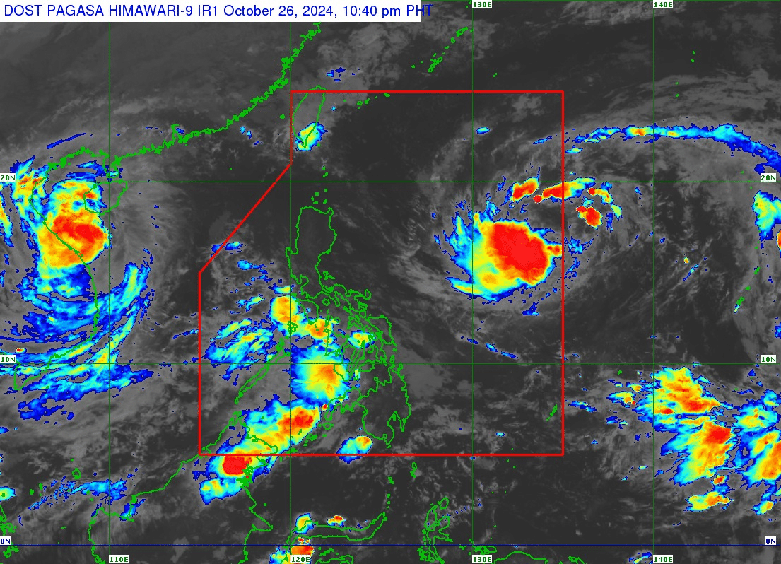
MANILA, Philippines — Tropical Storm Leon (international name: Kong-rey) entered the Philippine area of responsibility on Saturday evening, the state weather bureau said.
In its 11 p.m. bulletin, the Philippine Atmospheric, Geophysical and Astronomical Services Administration (Pagasa) said that Tropical Cyclone Wind Signal No.1 may be raised over Cagayan Valley and the western portion of Bicol region on Sunday afternoon or evening.
READ: Western part of Southern Luzon, Visayas to have cloudy skies, rain
It may intensify into a severe tropical storm on Sunday evening or early Monday morning. It may also develop into a typhoon category on Monday evening or early Tuesday morning.
READ: Storm Kong-rey accelerates, keeps strength as it approaches PAR
Further, Pagasa added that the following areas will experience strong to gale-force gusts due to the windflow from the circulation of the tropical storm:
on October 27, Sunday
- Catanduanes
- Northern Samar
- Eastern Samar
- Dinagat Islands
on October 28, Monday
- Northern Samar
- Romblon
- Masbate including Burias and Ticao Islands
- Northern portion of Antique including Caluya Islands, Capiz
- Southern portion of Negros Oriental
- Siquijor
- Southern portion of Bohol
- Southern Leyte
- Dinagat Islands
- Surigao del Norte
- Agusan del Norte
- Camiguin
- Misamis Oriental
- Misamis Occidental
- Sarangani
- Southern portion of Davao del Sur
- Southern portion of Davao Oriental
on October 29, Tuesday
- Batangas
- Northern portion of Oriental Mindoro
- Northern portion of Camarines Norte
- Northern portion of Camarines Sur
- Northern portion of Catanduanes
- Northern Samar
- Romblon
- Masbate including Burias and Ticao Islands
- Northern portion of Antique including Caluya Islands, Capiz
- Southern portion of Negros Oriental
- Siquijor
- Southern portion of Bohol
- Southern Leyte
- Dinagat Islands
- Surigao del Norte
- Pagasa added that the western portion of Southern Luzon, Visayas, and Mindanao may be affected by the southwesterly windflow that may be influenced by Leon.
Leon was also spotted some 1,355 kilometers east of Central Luzon, moving westward at 25 kilometers per hour (km/h). It still carried a maximum wind speed of 85 km/h and gustiness of up to 80 km/h.