
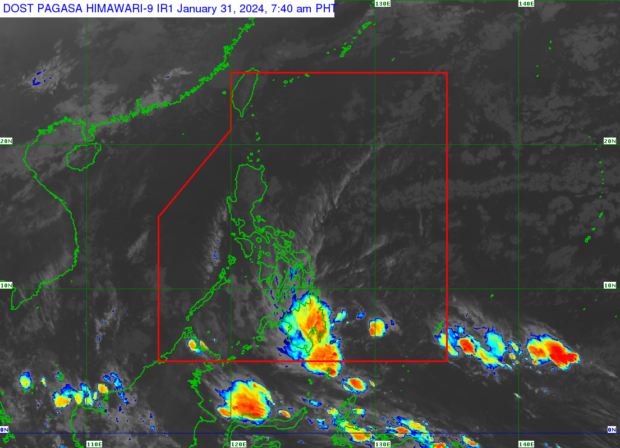
Most of the country is forecast to experience rain on Wednesday, January 31, 2024, due to the northeast monsoon (locally known as amihan) and the trough of a low pressure area, according to the Philippine Atmospheric, Geophysical and Astronomical Services Administration (Pagasa). Weather satellite image from Pagasa.
MANILA, Philippines — Many parts of the country will experience rain on Wednesday as the northeast monsoon and the trough of a low pressure area (LPA) continue to influence the country’s weather.
The Philippine Atmospheric, Geophysical and Astronomical Services Administration (Pagasa) said the northeast monsoon, locally known as amihan, will dampen Luzon and Visayas while the LPA’s trough or extension would affect other parts of Visayas and most of Mindanao.
In its 4 a.m. advisory, Pagasa said cloudy skies with light rains will prevail over Cagayan Valley, Aurora, Quezon, Bicol Region, and Northern Samar due to the northeast monsoon.
Pagasa specialist Grace Castañeda said in a weather report on Wednesday morning that the rest of Luzon, including Metro Manila, may have generally fair weather despite some chances of isolated light rains due to the weather system.
READ: Chilly weather stays in parts of PH due to northeast monsoon
Palawan and Western Visayas will likewise experience overcast skies with chances of light rains, according to Castañeda.
Central Visayas, Biliran, Samar, Eastern Samar, Southern Leyte, Northern Mindanao, Soccskargen, Caraga, and Davao Region will see cloudy skies with scattered rain showers and thunderstorms on Wednesday due to the LPA’s trough, according to the Pagasa advisory.
The state weather agency advised residents in these areas to prepare for “possible flash floods or landslides due to moderate to at times heavy rains.”
READ: Pagasa: LPA trough to bring ‘significant’ rain to Mindanao
Castañeda, however, said that the LPA spotted south of the country and outside of the Philippine area of responsibility (PAR) is not likely to intensify into a cyclone and enter the PAR.
As for the country’s coasts, Pagasa raised a gale alert over the eastern seaboards of Southern Luzon, Visayas, and Mindanao where waves are expected to reach as high as 4.5 meters on Wednedsay.