Goring further intensifies; Batanes, Babuyan Islands back to Signal No. 4 – Pagasa
Goring has intensified, but Batanes and Babuyan Islands are back to Signal No. 4. (Photo by Pagasa)
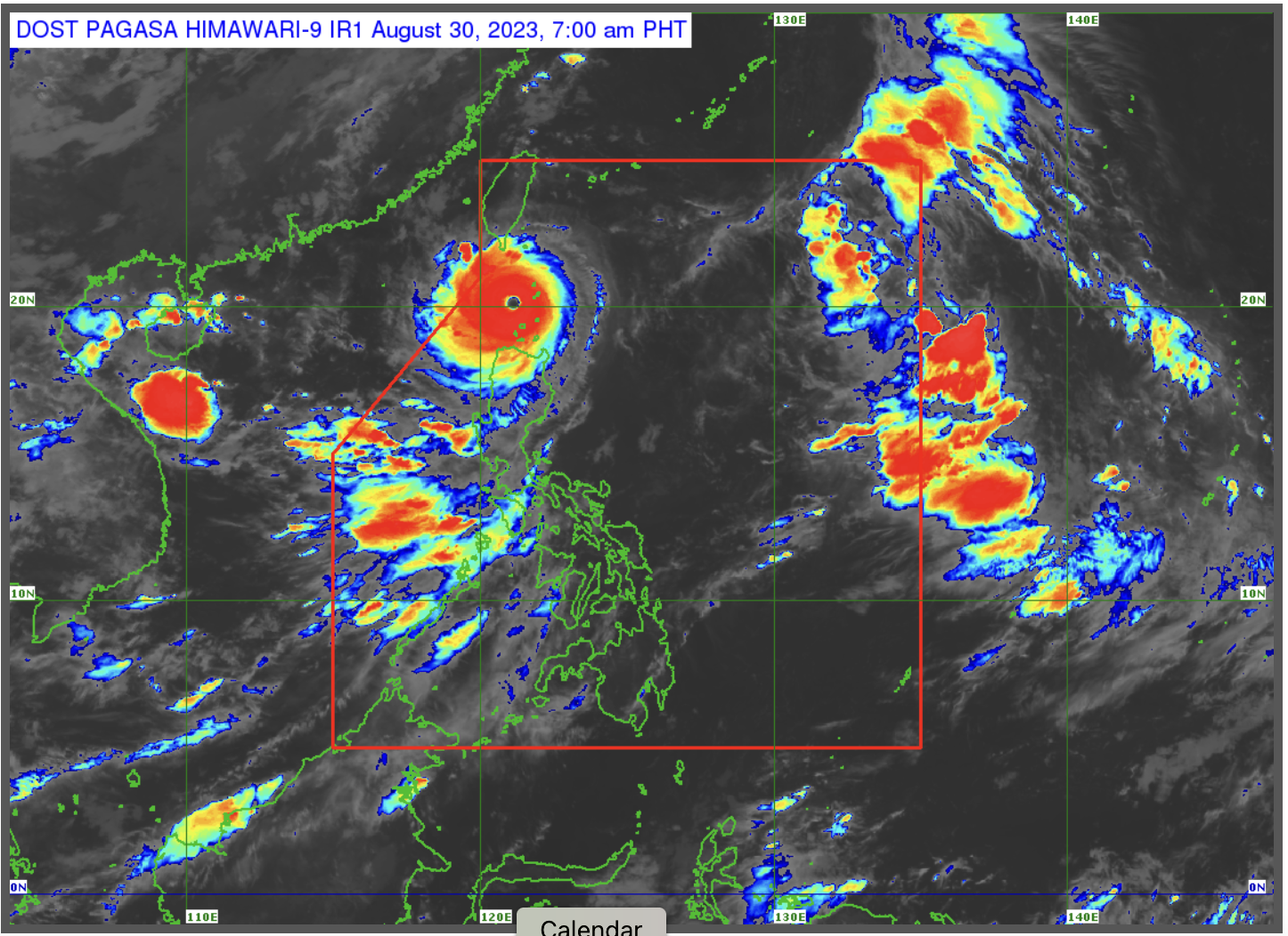
MANILA, Philippines — Super typhoon Goring (international name: Saola) intensified further, bearing maximum sustained winds of 195 kilometers per hour (kph) and gusts of 240 kph, the Philippine Atmospheric, Geophysical and Astronomical Services Administration (Pagasa) said on Wednesday.
It is moving northwestward at 20 kph, and is expected to exit the Philippine area of responsibility (PAR) Wednesday evening or on Thursday morning. Pagasa said.
“Gayunpaman, naging napalakas pa rin ng bugso ng hangin na naging dala nito partikular na sa Babuyan Islands at sa bahagi ng Batanes, kung saan malapit ang tinatawag na eye wall or kung saan ang may pinakamalakas na hangin ng bagyo,” Pagasa weather specialist Obet Badrina said.
(The gusts that Goring brought are very strong, especially in Babuyan Islands and in parts of Batanes, where the eye wall is located, and where the strongest winds are.)
As of Wednesday 5:00 am, Pagasa has raised the following tropical cyclone wind signals due to Goring:
Signal No. 4:
- Southern part of Batanaes
- Northern part of Babuyan islands
Signal No. 3:
- the rest of Batanes
- Southwestern portion of Babuyan islands
Signal No. 2:
- the rest of Babuyan islands
- Northern portion of mainland Cagayan
- Northern portion of Ilocos Norte
Signal No. 1:
- Northern and eastern portion of Isabela
- the rest of Ilocos Norte
- the rest of Cagayan
- Apayao
- Northern portion of Abra
- Northern portion of Kalinga
- Extreme northern portion of Ilocos Sur
The southwest monsoon enhanced by Goring will bring cloudy to rainy over the western parts of Luzon and Visayas.
Pagasa forecasts 100 to 200 millimeters (mm) of rainfall in areas of the northern portion of Palawan and Occidental Mindoro, while 50 to 100 mm of rainfall is expected in areas of Zambales, Bataan, Antique, Negros Occidental, Guimaras, and in the southern portion of Palawan.
Meanwhile, severe tropical storm Haikui is 1,560 km east of northern Luzon outside the PAR, with wind speeds of 110 kph, gusts of 135 kph and is moving west northwestward.
Haikui is not expected to directly affect any part of the country, but will enhance the southwest monsoon. It is expected to enter the PAR on Wednesday, where it will be given the local name “Hanna,” and is expected to exit the PAR on Friday.