
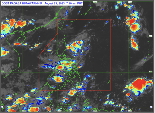
The LPA sighted east Cagayan may develop into a tropical cyclone. (Photo by Pagasa)
MANILA, Philippines — The state weather bureau has not ruled out on Wednesday the possibility of the low pressure area (LPA), 570 kilometers east of Aparri, Cagayan may develop into a tropical cyclone.
The Philippine Atmospheric, Geophysical and Astronomical Services Administration (Pagasa) said that the LPA, sighted on Tuesday, may still become a tropical cyclone in the coming days.
“Base sa pinakahuling datos natin, hindi natin inaalis ang posibilidad na ito ay maging bagyo sa susunod na mga araw,” Pagasa weather specialist Obet Badrina said in a weather report.
(Based on our latest data, we do not rule out the possibility that it will develop into a tropical cyclone in the coming days.)
The trough or the extension of the LPA will bring cloudy to rainy weather in the Cordillera Administrative Region and the Cagayan valley.
In contrast, the Ilocos Region as well as Metro Manila will have a warm day with high chances of rain from the afternoon to the evening.
Pagasa also said that the southwest monsoon or habagat will also bring rains over northern and southern Luzon, Visayas, and Mindanao.
“Itong habagat ay inaasahan nating magdadala ng maulap na kalangitan na may malaking tsansa ng pag-ulan partikular na sa bahagi ng Visayas, Mindanao, Mimaropa, Bicol Region, at sa may bahagi ng Bataan at Zambales,” Badrina added.
(The habagat [southwest monsoon] is expected to bring cloudy skies with a high chance of rain particularly in areas of Visayas, Mindanao, Mimaropa, Bicol Region, and in parts of Bataan and Zambales.)