Pagasa: Flood, landslides in Visayas and Mindanao amid heavy rain due to ITCZ
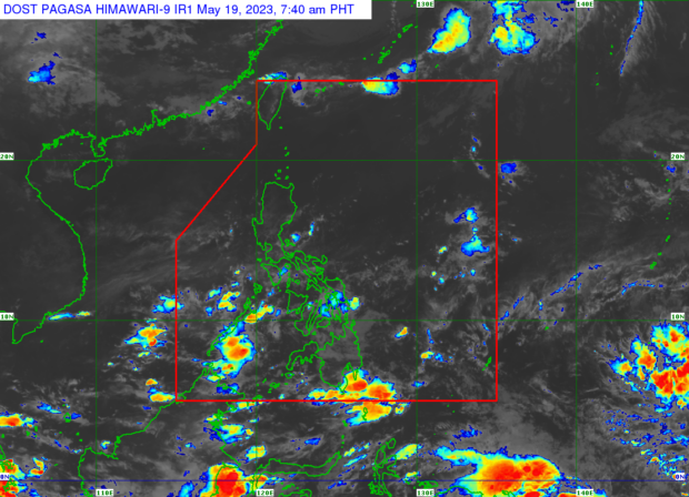
Weather satellite image from Pagasa’s website
MANILA, Philippines — Visayas and Mindanao should take caution against flooding and landslides due to heavy rains brought by the inter-tropical convergence zone (ITCZ), the Philippine Atmospheric, Geophysical and Astronomical Services Administration (Pagasa) said Friday.
It noted that the ITCZ will trigger rain, thunder, and lightning all Friday afternoon in parts of Mindanao, particularly the Zamboanga Peninsula, BARMM, Soccskargen, and Davao Region.
Pagasa defines the ITCZ as “the dividing line between the southeast trade [winds] and the northeast trade [winds].”
“Pinag-iingat ‘yung ating mga kababayan dito sa bahagi ng Visayas at Mindanao sa mga banta ng mga pagbaha at pagguho ng lupa na dadalhin ng mga malalakas na mga pag-ulan dulot ng ITCZ,” Pagasa’s Patrick del Mundo said in a weather report.
(Our fellow countrymen here in the Visayas and Mindanao are being warned against the threats of floods and landslides that will be brought by the heavy rains caused by the ITCZ.)
Article continues after this advertisementThe Pagasa weather specialist also reported moderately cloudy to cloudy skies with high chances of rain, thunder, and lightning in Visayas, northern Mindanao, and Caraga due to the “oscillation of the ITCZ.”
Article continues after this advertisementHe likewise said that moderately cloudy to cloudy skies with chances of isolated showers, thunder, and lightning due to localized thunderstorms are expected in Luzon from Friday afternoon until nighttime.
On the low pressure area (LPA) being monitored by the state weather bureau, del Mundo said it has not moved significantly since Thursday, May 18. He added that the LPA was last located 2,235 kilometers east of southeastern Mindanao.
Pagasa earlier predicted that this LPA may develop into a weak storm in the next few days while still outside the Philippine area of responsibility. It noted that the LPA may enter the PAR by next week and even if it becomes a storm, it may not affect any part of the country since it may remain far from the landmass.
READ: Pagasa spots new LPA that may turn into weak storm in 2-4 days
No gale warnings were raised over any of the Philippines’ seaboards, based on the early Friday morning bulletin of the state weather service.
Meanwhile, Pagasa issued the following Friday forecast temperature range in key cities/areas around the country:
Luzon
- Metro Manila: 27 to 33 degrees Celsius
- Baguio City: 17 to 24 degrees Celsius
- Laoag City: 26 to 34 degrees Celsius
- Tuguegarao: 25 to 37 degrees Celsius
- Legazpi City: 25 to 34 degrees Celsius
- Puerto Princesa City: 26 to 33 degrees Celsius
- Tagaytay: 23 to 30 degrees Celsius
- Kalayaan Islands: 26 to 33 degrees Celsius
Visayas
- Iloilo City: 25 to 33 degrees Celsius
- Cebu: 27 to 33 degrees Celsius
- Tacloban City: 26 to 32 degrees Celsius
Mindanao
- Cagayan De Oro City: 25 to 32 degrees Celsius
- Zamboanga City: 25 to 33 degrees Celsius
- Davao City: 25 to 33 degrees Celsius
RELATED STORIES
ITCZ to dump rain over Visayas, Mindanao
Pagasa: Approaching LPA likely to become ‘weak typhoon’
Pagasa: LPA off Mindanao not likely to turn into storm