


Photo from Pagasa
MANILA, Philippines — The low-pressure area (LPA) near Palawan is expected to trigger cloudy skies and rain on Saturday, with the state weather bureau cautioning locals of possible landslides and rain.
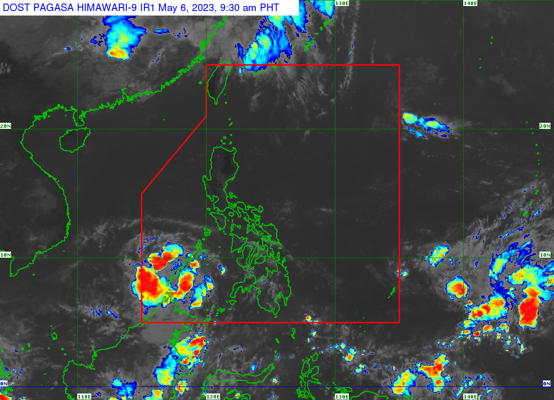
According to the Philippine Atmospheric, Geophysical and Astronomical Services Administration (Pagasa), the LPA was last spotted 115 kilometers west of Puerto Princesa City, embedded in the Intertropical Convergence Zone (ITCZ).
“Dito naman sa bahagi ng Palawan at Kalayaan Islands ay inaasahan pa rin natin na magpapatuloy yung maulap na kalangitan, pag-ulan, pagkidlat at pagkulog, dahil sa epekto ng low pressure area. Kaya pinag-iingat natin yung kababayan natin diyan sa pagbaha at pagguho ng lupa,” said Pagasa weather forecaster Patrick Del Mundo.
(Here in the parts of Palawan and Kalayaan Islands, we expect cloudy skies with rain, thunder, and lighting to persist because of the effects of the low-pressure area. That is why we urge caution to residents there regarding floods and landslides.)
Pagasa is not discounting the chances of this LPA developing into a tropical cyclone.
Del Mundo said that there are two LPAs currently embedded in the ITCZ, the first being the one in Palawan and the second outside of the Philippine area of responsibility (PAR) currently 1,270 kilometers east of northern Mindanao.
The second LPA may enter the PAR by Sunday, but it has a low chance of becoming a storm, said Del Mundo.
The state weather bureau said that Metro Manila and the rest of the country can expect partly cloudy skies with chances of isolated rains due to the ITCZ or the easterlies.
Pagasa listed the following temperatures for Saturday:
Luzon
- Metro Manila: 26 to 35 degrees Celsius
- Baguio City: 17 to 26 degrees Celsius
- Laoag City: 26 to 33 degrees Celsius
- Tuguegarao: 26 to 37 degrees Celsius
- Legazpi City: 25 to 33 degrees Celsius
- Puerto Princesa City: 25 to 28 degrees Celsius
- Tagaytay: 22 to 32 degrees Celsius
- Kalayaan Islands: 26 to 30 degrees Celsius
Visayas
- Iloilo City: 25 to 31 degrees Celsius
- Cebu: 26 to 32 degrees Celsius
- Tacloban City: 25 to 32 degrees Celsius
Mindanao
- Cagayan De Oro City: 25 to 31 degrees Celsius
- Zamboanga City: 26 to 34 degrees Celsius
- Davao City: 25 to 33 degrees Celsius
RELATED STORIES
LPA brings possibility of rain to Palawan and parts of VisMin — Pagasa
Pagasa: Heavy rain likely in Palawan, new LPA spotted east of Mindanao