


Ampalaya now a real bitter pill to treat diabetes


INQUIRER.net stock images
MANILA, Philippines — After decades of studies, University of the Philippines Manila (UPM) researchers have developed a medicinal tablet made from ampalaya, or bitter melon, for Type 2 diabetes treatment.
The research teams of the Institute of Herbal Medicine (IHM) of the National Institutes of Health (NIH) at UPM focused on powdered ampalaya leaves, which demonstrated significant potential in lowering blood sugar levels.
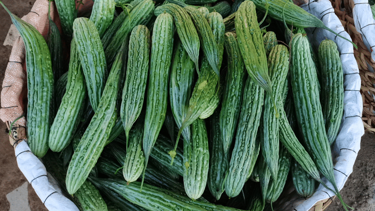
Ampalaya (Momordica charantia) is rich in bioactive compounds, including polypeptide-p, a protein similar to the insulin produced by the pancreas that reduces glucose level in the body.
READ: Diabetes: A bitter health crisis for Filipinos
“Our studies have shown that the ampalaya tablet can produce a significant reduction in blood sugar levels, comparable to the drug glibenclamide,” said professor Daisy-Mae Bagaoisan, a pharmacist and research assistant professor at NIH-IHM.
“The tablet has undergone rigorous clinical trials (Phases 1 to 3) and has been found to effectively reduce fasting plasma glucose by the third week of treatment and decrease glycosylated hemoglobin after 12 weeks,” she added.
The ampalaya tablet they had developed is also “very safe, with no known side effects.”
“It has been formulated according to WHO (World Health Organization) guidelines and is stable at room temperature for at least one and a half years, Moreover, it is very safe, making it a viable option for those seeking a herbal remedy with no known side effects,” Bagaoisan said.
‘Scientifically validated’
What sets the researchers’ ampalaya tablet apart from other such products in the market is that it is classified as a “herbal medicine,” not just a “herbal supplement.”
Unlike those supplements, which are marketed “without therapeutic claims,” according to their labels, herbal medicines are rigorously tested for safety and efficacy and are regulated by health authorities like the Food and Drug Administration (FDA).
“This tablet has undergone extensive clinical trials and is proven to have a therapeutic effect on blood sugar levels. This distinction ensures that the ampalaya tablet offers a superior, scientifically validated option for managing type 2 diabetes,” Bagaoisan said.
Diabetes, particularly non-insulin-dependent diabetes mellitus, is a growing health concern worldwide, especially in low- and middle-income countries like the Philippines.
In 2021, an estimated 4.3 million Filipinos were diagnosed with diabetes, while 2.8 million remained undiagnosed. Diabetes is also the top cause of preventable blindness and kidney diseases.
“Our research on the ampalaya tablet offers a natural alternative that could complement current treatments for managing this condition,” Bagaoisan said.
“The rising prevalence of diabetes, exacerbated by factors such as obesity and lifestyle changes, underscores the need for effective and accessible treatments. Bitter may indeed be better when it comes to managing diabetes,” she added.
Medicinal plants
Ampalaya is among the 10 Filipino medicinal plants studied under the National Integrated Research Program on Medicinal Plants in 1974.
Under the program, inexpensive medicines are required to be distributed to the poor.
In 1992, the Department of Health circulated a list of “10 scientifically validated” medicinal plants, which are akapulco, ampalaya, bawang, bayabas, lagundi, niyug-niyogan, sambong, tsaang gubat, ulasimang bato and yerba buena.
Pharmaceutical companies and technology adopters who are interested about the ampalaya tablet may email Dr. Cecilia Maramba-Lazarte, director of NIH-IHM, through nih.ihm@gmail.com.


