
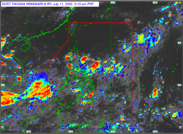
Pagasa weather satellite as of July 11, 5 p.m. Screengrab from Pagasa website.
MANILA, Philippines — The combination of southwest monsoon or habagat and a low-pressure area will continue to bring overcast skies and rainfall to many parts of the country on Tuesday, the state weather bureau said.

In its Monday bulletin, the Philippine Atmospheric Geophysical and Astronomical Services Administration (Pagasa) said the LPA is currently located 345 kilometers east of Daet, Camarines Norte.
The combined effects of the LPA and habagat will bring cloudy skies with scattered rain showers and thunderstorms to Aurora, Quezon, Mimaropa (Mindoro Occidental, Mindoro Oriental, Marinduque, Romblon, and Palawan), the entire Visayas and Caraga Region.
Metro Manila and the regions not mentioned will experience partly cloudy to cloudy skies with isolated rain showers and thunderstorms.
Pagasa weather specialist Chris Perez said Pagasa did not raise gale warnings to seaboards nationwide.
However, Perez said habagat would bring moderate to rough sea conditions to the western seaboard of Western and Southern Luzon.