Rainy Wednesday across most of PH – Pagasa
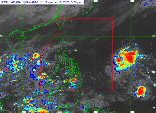
MANILA, Philippines — The northeast monsoon, the shear line and the intertropical convergence zone (ITCZ) will bring rain to most of the country on Wednesday, said the Atmospheric, Geophysical and Astronomical Services Administration (Pagasa).
In Luzon, Pagasa weather specialist Ariel Rojas said that rain was forecast to continue along the shear line in Cagayan, Isabela, Kalinga, and Apayao, while the same weather condition will likewise prevail in the Kalayaan Islands due to the ITCZ.
The northeast monsoon or the “amihan,” on the other hand, will also continue to affect parts of northern and Central Luzon, but Rojas said that chances of rain would be much lower in Ilocos and the western side of Central Luzon.
“Ang remaining parts naman ng Luzon dito sa Bicol Region, Calabarzon, other parts of Central Luzon, Metro Manila, at iba pang bahagi ng Mimaropa, maalinsangan ang panahon bukas, at mataas ang tiyansa ng thunder storms sa hapon at gabi,” said Rojas.
(In the remaining parts of Luzon here in the Bicol Region, Calabarzon, other parts of Central Luzon, Metro Manila, and other parts of Mimaropa, the weather will be hot tomorrow, and the chance of thunderstorms in the afternoon and evening is high.)
Article continues after this advertisementThe ITCZ will also bring rain over Caraga, Davao Region, Soccsksargen, Zamboanga Peninsula and the Sulu Archipelago in Mindanao.
Article continues after this advertisementMeanwhile, the rest of Mindanao and the entire Visayas will experience the same weather as Metro Manila, where warmer and more humid weather conditions and thunderstorms during the afternoon and evening are forecast.
No tropical cyclones are also expected to form within the Philippine Area of Responsibility (PAR), said Rojas, as the low pressure being monitored east of Mindanao has already dissolved, while the one outside PAR, last located 1,570 east of Mindanao, is not expected to escalate into a storm.
The temperature range in key cities/areas according to Pagasa for Wednesday:
Metro Manila: 25 to 33 degrees Celsius
Baguio City: 16 to 23 degrees Celsius
Laoag City: 25 to 32 degrees Celsius
Tuguegarao: 22 to 29 degrees Celsius
Legazpi City: 25 to 32 degrees Celsius
Puerto Princesa City: 25 to 31 degrees Celsius
Tagaytay: 22 to 31 degrees Celsius
Kalayaan Islands: 25 to 31 degrees Celsius
Iloilo City: 25 to 32 degrees Celsius
Cebu: 26 to 32 degrees Celsius
Tacloban City: 25 to 31 degrees Celsius
Cagayan De Oro City: 23 to 31 degrees Celsius
Zamboanga City: 24 to 31 degrees Celsius
Davao City: 24 to 32 degrees Celsius
Gale warning also remains raised in the seaboards of Ilocos Norte due to the effects of “amihan.”
Meanwhile, rough seas are still expected in the coasts of extreme northern Luzon.