The Philippine Atmospheric, Geophysical, and Astronomical Services Administration (Pagasa) in its 11 a.m. bulletin said “Huaning” made landfall in the vicinity of Hsinchu City in Taiwan.
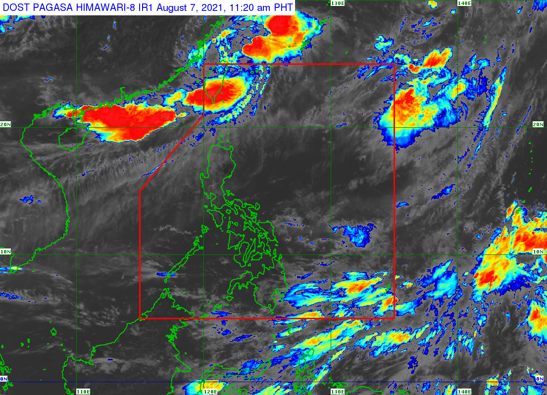
Pagasa said “Huaning” is not likely to directly affect the country.
It will, however, enhance the southwest monsoon which could trigger gusty conditions over Batanes, Babuyan Islands, Ilocos Norte, Ilocos Sur, Apayao, and Abra.
No tropical cyclone wind signals have so far been raised in the country.
As of 10 a.m. Saturday, “Huaning” was spotted 465 kilometers north of Itbayat, Batanes or in the vicinity of Hsinchu County.
It has maximum sustained winds of 65 kilometers per hour (kph) near the center and gustiness of up to 110 kph.
The tropical storm is moving southeastward at 15kph.
“Huaning” is expected to exit PAR this afternoon or evening.
RELATED STORY:
Pagasa: Fair Saturday weather in most parts of PH