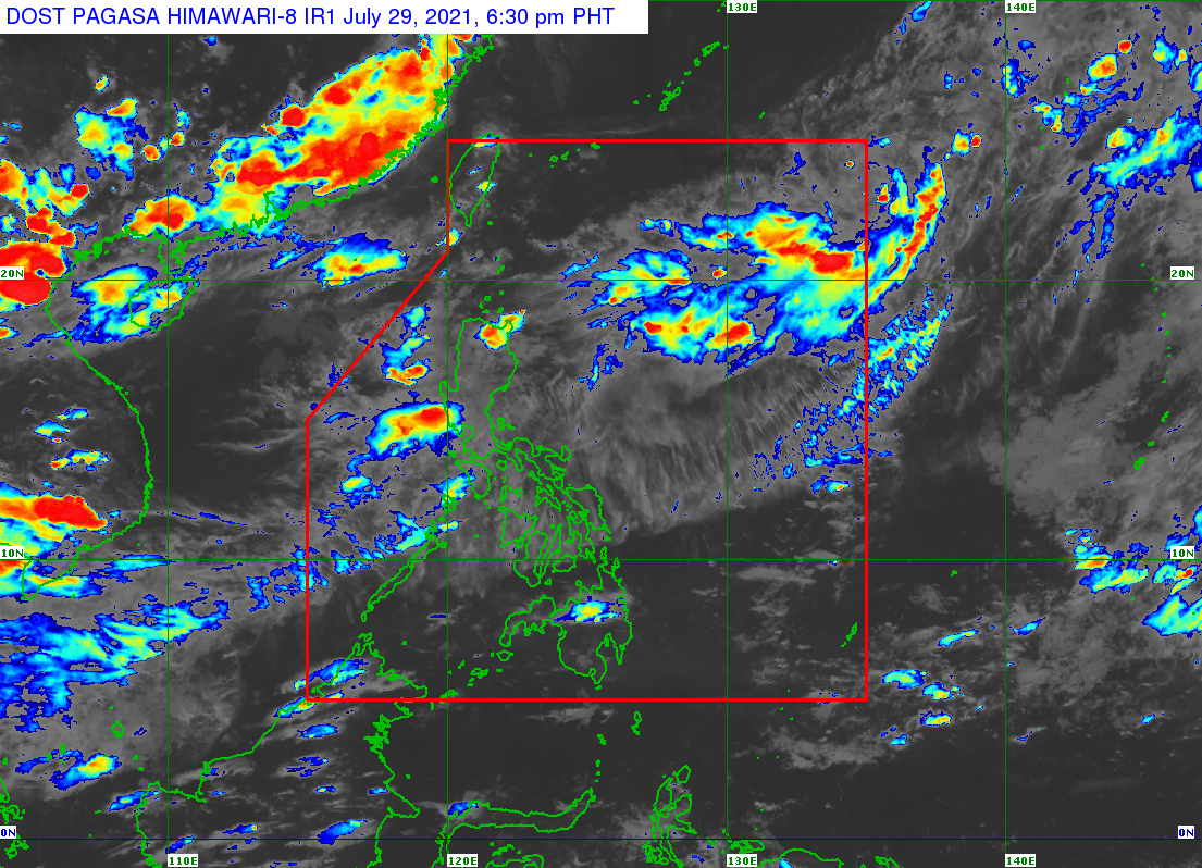
MANILA, Philippines — One of the two low-pressure areas (LPAs) being monitored by the Philippine Atmospheric, Geophysical and Astronomical Services Administration (Pagasa) has intensified into a tropical depression on Sunday morning.
Tropical Depression Emong is expected to remain a tropical depression throughout the forecast period, said Pagasa.
Emong developed into a tropical depression over the Philippine Sea at 8:00 a.m.
The center of the storm was last located 790 kilometers (km) east of Catarman, Northern Samar as of 10:00 a.m.
It is currently moving northwestward at 25 km per hour and has maximum sustained winds of 45 km per hour and gustiness of up to 55 km per hour.
Tropical Cyclone Wind Signal No. 1 is currently hoisted in the following areas:
– Batanes
– Northeastern portion of Cagayan (Santa Ana, Gonzaga) and the Babuyan Islands
“The tropical depression is forecast to continue moving northwestward until tomorrow morning. On the forecast track, the center of the tropical depression may traverse over Batanes-Babuyan Islands area between tomorrow evening and Tuesday morning,” Pagasa said in its advisory.
The tropical depression is expected to leave the Philippine Area of Responsibility by Wednesday.
RELATED STORY
2 LPAs in PAR bringing cloudy skies, rain nationwide may become storms — Pagasa