LPA east of Luzon gone, but Pagasa spots new LPA east of Mindanao
MANILA, Philippines — The low-pressure area (LPA) east of Luzon has evaporated and joined the cloud bands from the northeast monsoon and the tail end of a frontal system, but state meteorologists are monitoring another LPA outside the Philippine area of responsibility (PAR).
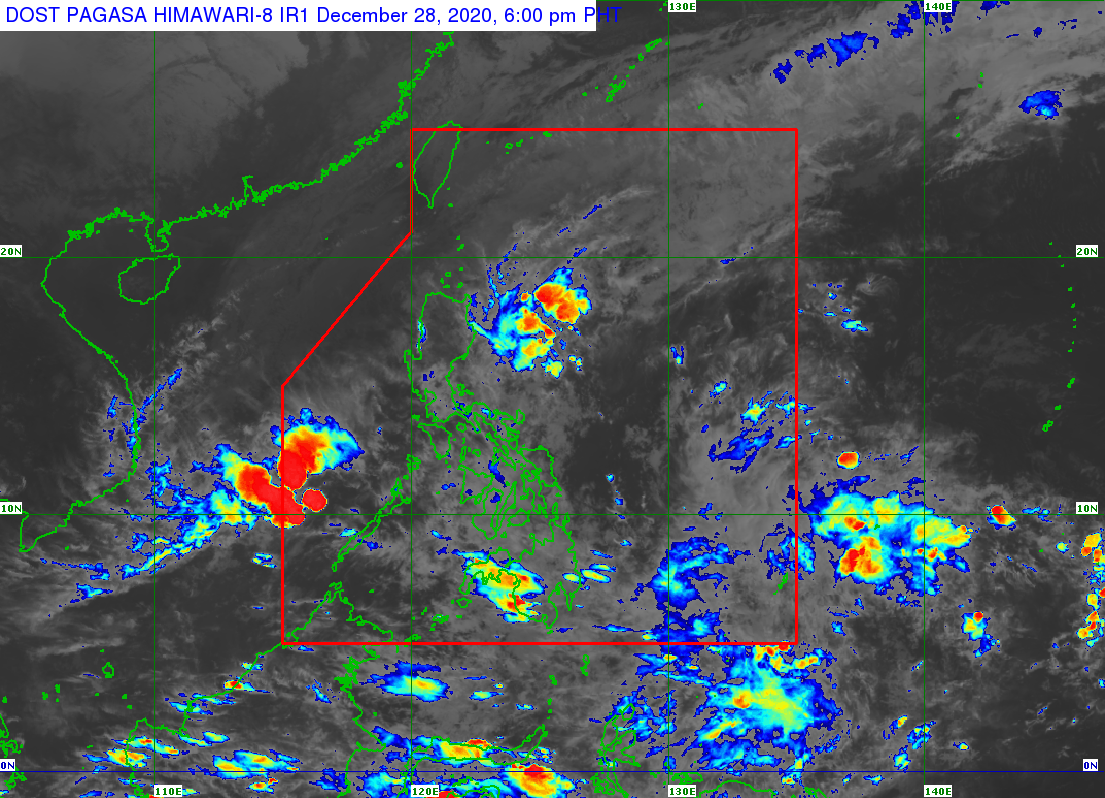
According to weather updates from the Philippine Atmospheric, Geophysical and Astronomical Services Administration (Pagasa) on Monday afternoon, the LPA outside the PAR was last located 1,490 kilometers east of Mindanao, while the other LPA inside the country’s premises is already 310 kilometers west of Puerto Princesa in Palawan.
Pagasa said the LPA east of Mindanao is not expected to enter the PAR, but it may bring rains over southern parts of Mindanao in the coming days.
While these developments may mean a gradual improvement of weather in most areas in the country, Pagasa warned that Northern Luzon and the Cagayan Valley will still see light to moderate rains due to the northeast monsoon or “amihan” — especially as Pagasa sees an intensification of the northeast monsoon.
According to the wind models used by Pagasa, Luzon residents should brace for another surge from the northeast monsoon, as wind models used by Pagasa showed where the amihan will intensify and even reach areas in Central Luzon, Metro Manila, and northern parts of Southern Luzon.
Article continues after this advertisement“Ibig sabihin niyan ‘yong panibagong bugso ng amihan na inaasahan natin na magsisimula ng Miyerkules, ‘yong epekto nito’y posibleng ngang umabot sa ilang bahagi pa ng Southern Luzon area,” senior weather specialist Chris Perez said.
Article continues after this advertisement(This means that another surge of the amihan can be expected starting Wednesday, the effects of which can even reach some portions of the Southern Luzon area.)
“Samantala ‘yong binanggit nating low pressure area, at the moment hindi po natin inaasahan na papasok ng PAR pero posible ngang maka-apekto sa ilang bahagi ng Mindanao sa mga darating na araw,” he added.
(Meanwhile, regarding the low-pressure area we mentioned, at the moment it is not expected to enter the PAR but it can affect some areas in Mindanao in the coming days.)
Temperatures in Tuguegarao are expected to go down further at 22 to 27 degrees Celsius, 15 to 24 degrees in Baguio City, 24 to 31 degrees in Legazpi and Laoag, and 23 to 31 degrees in Metro Manila.
Iloilo and Cebu would also cool down with expected temperatures of 24 to 30 degrees Celsius, while it would be slightly hotter in Mindanao as Davao may see something around 24 to 31 degrees, Cagayan de Oro with 23 to 31 degrees, and Zamboanga at 24 to 33 degrees.
A gale warning remains raised over the northern seaboards of Luzon, particularly the waters of Ilocos Norte and Ilocos Sur, Northern Cagayan, Babuyan Islands, and Batanes, as sea condition would range from rough to very rough. Fisherfolk is advised not to sail in these areas.