Ulysses further intensifies; Signal No. 3 now up in 19 Luzon areas
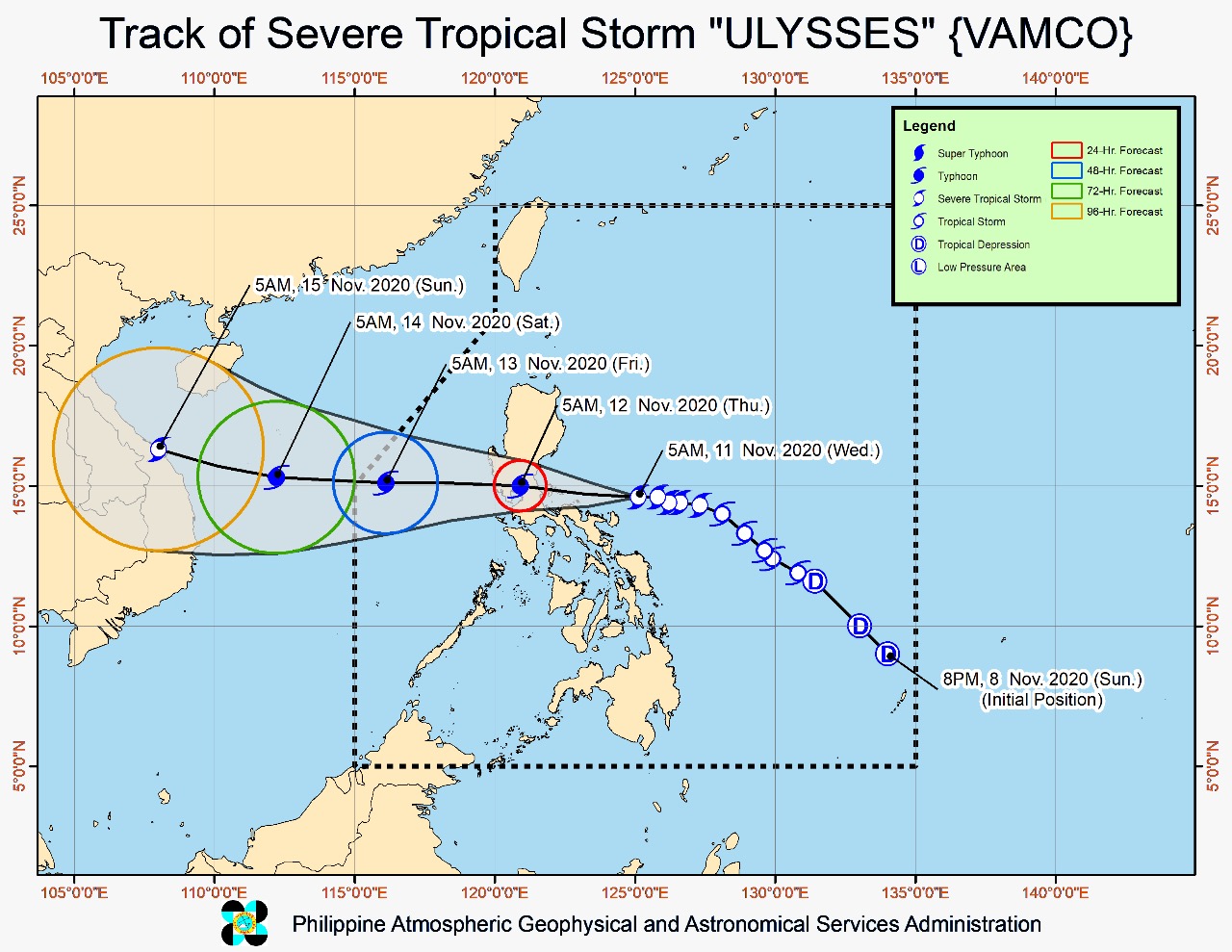
Forecast track of severe tropical storm Ulysses issued by Pagasa at 8 a.m. on Wednesday, November 11, 2020. (Image from Pagasa)
MANILA, Philippines — Typhoon Ulysses (international name: Vamco) further intensified while roaring closer toward the Quezon-Aurora area, the state weather bureau said Wednesday.
In its 2 p.m. severe weather bulletin, Tropical Cyclone Wind Signal (TCWS) No. 3 , where winds of greater than 121 kilometers per hour (kph) up to 170 kph may be expected in at least 18 hours, is hoisted over 19 areas over Luzon, namely:
Metro Manila
the southern portion of Quirino (Maddela, Nagtipunan)
the southern portion of Nueva Vizcaya (Alfonso Castaneda, Dupax Del Norte, Dupax Del Sur)
Pangasinan
Nueva Ecija
Aurora
Tarlac
Zambales
Bataan
Pampanga
Bulacan
Rizal
Cavite
Laguna
the northern and central portions of Quezon (General Nakar, Infanta, Real, Mauban, Sampaloc, Lucban, Tayabas City, Sariaya, Candelaria, Dolores, Tiaong, San Antonio, Lucena City, Pagbilao, Atimonan, Padre Burgos, Unisan, Agdangan, Gumaca, Plaridel, Pitogo, Macalelon, Lopez, General Luna, Catanauan, Buenavista, Guinayangan, Tagkawayan, Calauag, Quezon, Alabat, Perez) including Polillo Islands
Batangas
Catanduanes
Camarines Norte
the northern portion of Camarines Sur (Del Gallego, Ragay, Lupi, Sipocot, Cabusao, Bombon, Calabanga, Tinambac, Siruma, Goa, Lagonoy, San Jose, Garchitorena, Presentacion, Caramoan)
Meanwhile, TCWS No. 2, where winds of greater than 61 kph and up to 120 kph may be expected in at least 24 hours, is hoisted over:
The rest of Quirino
the rest of Nueva Vizcaya
the southern portion of Benguet (Bokod, Itogon, Tublay, La Trinidad, Sablan, Baguio City, Tuba)
the southern portion of La Union (Burgos, Naguilian, Bauang, Caba, Aringay, Tubao, Pugo, Santo Tomas, Rosario, Agoo)
the rest of Quezon
Marinduque
the northern portion of Occidental Mindoro (Paluan, Abra de Ilog) including Lubang Island
the northern portion of Oriental Mindoro (Pola, Victoria, Naujan, Baco, Calapan City, San Teodoro, Puerto Galera)
the rest of Camarines Sur
Albay
Sorsogon
Burias and Ticao Islands
And TCWS No. 1, where winds of 30 to 60 kph may be expected in at least 36 hours, is raised over:
Isabela
Kalinga
Mountain Province
Ifugao
the rest of Benguet
Abra
locos Sur
the rest of La Union
the rest of Occidental Mindoro, the rest of Oriental Mindoro
Romblon
the rest of Masbate
Northern Samar
the northern portion of Samar (Santo Nino, Almagro, Tagapul-An, Tarangnan, Calbayog City, Santa Margarita, Gandara, Pagsanghan, San Jorge, San Jose de Buan, Matuguinao)
the northern portion of Eastern Samar (Maslog, Dolores, Oras, San Policarpo, Arteche, Jipapad)
Based on Pagasa’s latest forecast, Ulysses was spotted at 125 kilometers northwest of Virac, Catanduanes, or 95 kilometers northeast of Daet, Catanduanes.
Ulysses packed maximum sustained winds of 135 kph near the center and gustiness of up to 165 kph.
The typhoon was last plotted moving westward at 20 kph.
Ulysses movement
State meteorologists said that the typhoon would generally move westward throughout the forecast period and pass over the seas north of Camarines provinces between Wednesday afternoon and Wednesday evening.
Ulysses’ center is forecast to make landfall over Polillo Islands and mainland Quezon between Wednesday night and early Thursday morning, Pagasa added.
Pagasa said heavy to heavy torrential rain bucketing down in Camarines Norte, Camarines Sur, and Catanduanes. Meanwhile, moderate to heavy rainfall is lashing Albay, Sorsogon, Quezon, including Polillo Islands and Burias and Ticao Islands.
And a light to moderate-heavy rain is pelting Metro Manila and the rest of Luzon and Visayas due to Ulysses.
But between Wednesday night and early Thursday morning, heavy to intense with at times torrential rains may pepper Metro Manila, Camarines Norte, Camarines Sur, Calabarzon (Cavite, Laguna, Batangas, Rizal, Quezon), Aurora, Bulacan, Pampanga, and Bataan.
Meanwhile, moderate to heavy rain is forecast in the Cordillera Administrative Region, mainland Cagayan Valley, Catanduanes, Marinduque, the northern portion of Mindoro Provinces, and the rest of Central Luzon.
As for the rest of Luzon and Visayas, Ulysses will bring light to moderate with, at times, heavy rains.
Due to Ulysses, there is a high risk of storm surge with heights of up to three meters over the coastal areas of Quezon, including Polillo Islands, Camarines Norte, Catanduanes, and the northern and eastern coastal areas of Camarines Sur,
Meanwhile, a storm surge as high as two meters may occur at the coastal areas of Metro Manila, La Union, Pangasinan, Isabela, Zambales, Aurora, Bataan, Pampanga, Bulacan, Cavite, Batangas, northern portions of Mindoro Provinces including Lubang Island, Marinduque, Romblon, Masbate including Ticao and Burias Islands, Albay, and Sorsogon, and the remaining coastal areas of Camarines Sur.