Pagasa warns of rough seas as Rolly leaves PH landmass
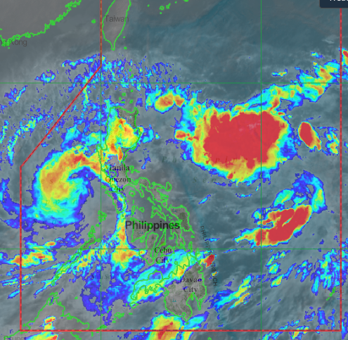
MANILA, Philippines — As Tropical Storm Rolly crosses the West Philippine Sea, the Philippine Atmospheric, Geophysical, and Astronomical Services Administration (Pagasa) warned of rough sea conditions in various parts of the country.
Pagasa said waves from 2.5 to 5 meters are expected over the seaboards of Northern Luzon and Central Luzon, the western seaboards of Batangas, Occidental Mindoro including Burias Island, and Calamian Islands, and eastern seaboards of Quezon including Polillo Islands and Bicol region.
Meanwhile, Pagasa said waves of up to 1.2 to 2.5 meters will be experienced over the western seaboards of Palawan including Kalayaan Islands and the eastern seaboards of Visayas and Mindanao.
Article continues after this advertisement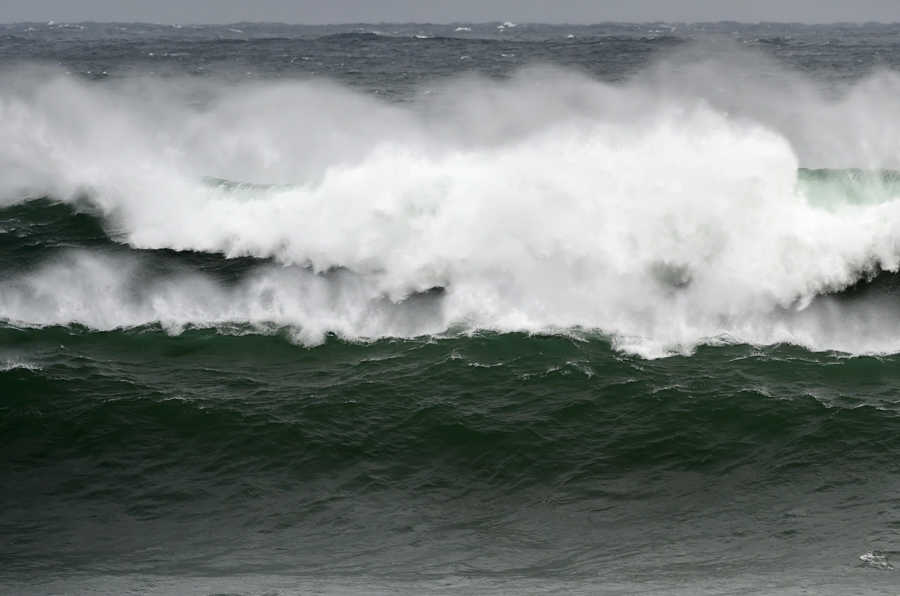
(File photo)
“Mariners of small seacrafts are advised to take precautionary measures when venturing out to sea. Inexperienced mariners should avoid navigating in these conditions,” Pagasa said.
Article continues after this advertisement
Pagasa’s 5 a.m. weather bulletin said that Rolly was last located 100 kilometers west southwest of Subic Bay.
It has a maximum sustained winds of 65 kilometers per hour (kph) near the center and gustiness of up to 80 kph while moving west northwestat 20 kph.
Tropical Cyclone Wind Signal No. 1 is still up over several areas in the country such as the northwestern portion of Occidental Mindoro, western portion of Batangas, extreme western portion of Laguna, Cavite, Metro Manila, western portion of Bulacan, western portion of Pampanga, Bataan, and parts of Zambales.
gsg