Metro Manila, other Luzon areas now under Signal No. 2 as Rolly maintains strength
MANILA, Philippines — Metro Manila and other areas in Luzon are now under Tropical Cyclone Weather Signal (TCWS) No. 2 as Typhoon Rolly maintains its strength, the state weather bureau said on Saturday.
In its 5 p.m. weather bulletin, the Philippine Atmospheric, Geophysical and Astronomical Services Administration (Pagasa) said Bulacan, Rizal, Metro Manila, Laguna, Cavite, and Batangas are under Signal No. 2. Areas under Signal No. 2 can expect to experience winds of greater than 61 kilometers per hour (kph) and up to 120 kph for at least 24 hours.
Areas under Signal No. 2:
Luzon:
-Quezon including Polillo Islands
Camarines Norte
The rest of Camarines Sur
Sorsogon
Masbate including Ticao and Burias Islands
Marinduque
Romblon
Oriental Mindoro
Occidental Mindoro including Lubang Island
Visayas:
Northern Samar
The northern portion of Samar (Hinabangan, Paranas, Motiong, Jiabong, Catbalogan City, San Jose de Buan, San Jorge, Tarangnan, Gandara, Santa Margarita, Matuguinao, Calbayog City, Tagapul-An, Almagro, Santo Nino, Pagsanghan)
The northern portion of Eastern Samar (San Julian, Sulat, Taft, Can-Avid, Dolores, Maslog, Oras, San Policarpo, Arteche, Jipapad)
Pagasa added that TCWS No. 3 remains hoisted over Catanduanes, the eastern portion of Camarines Sur (Cabusao, Libmanan, Pasacao, Pamplona, Magarao, Bombon, Calabanga, Canaman, Camaligan, Gainza, Naga City, Milaor, San Fernando, Minalabac, Pili, Ocampo, Baao, Bula, Balatan, Nabua, Bato, Iriga City, Buhi, Sagnay, Tigaon, Goa, Tinambac, Siruma, Lagonoy, San Jose, Garchitorena, Presentacion, Caramoan), and the whole of Albay.
Pagasa said areas under TCWS No. 3 will expect winds of 121 kph to 170 kph for at least 18 hours.
Areas under Signal No. 1:
Luzon:
Pampanga
Bataan
Zambales
Tarlac
Nueva Ecija
Aurora
Pangasinan
La Union
The southern portion of Ilocos Sur (Quirino, Gregorio Del Pilar, Salcedo, San Emilio, Candon City, Galimuyod, Santa Lucia, Cervantes, Sigay, Santa Cruz, Suyo, Tagudin, Alilem, Sugpon)
Mountain Province
Benguet
Ifugao
Nueva Vizcaya
Quirino
Central and southern portions of Isabela (Mallig, Quirino, Ilagan, Roxas, San Manuel, Burgos, Gamu, Palanan, San Mariano, Benito Soliven, Naguilian, Reina Mercedes, Luna, Aurora, Cabatuan, San Mateo, Cauayan City, Dinapigue, San Guillermo, Echague, San Agustin, Jones, Angadanan, Alicia, San Isidro, Ramon, Santiago City, Cordon), and Calamian Islands
Visayas:
The rest of Eastern Samar,
Rest of Samar
Northern portion of Leyte (Leyte, Tabango, San Isidro, Calubian, Capoocan, Carigara, Tunga, Barugo, San Miguel, Babatngon, Tacloban City)
Northwestern portion of Aklan (Numancia, Lezo, Makato, Tangalan, Ibajay, Nabas, Malay, Buruanga, Kalibo),
Northwestern portion of Antique (Libertad, Pandan)
Under Signal No. 1, winds of greater 30 to 60 kph may be expected in at least 36 hours or intermittent rains may be expected within 36 hours.
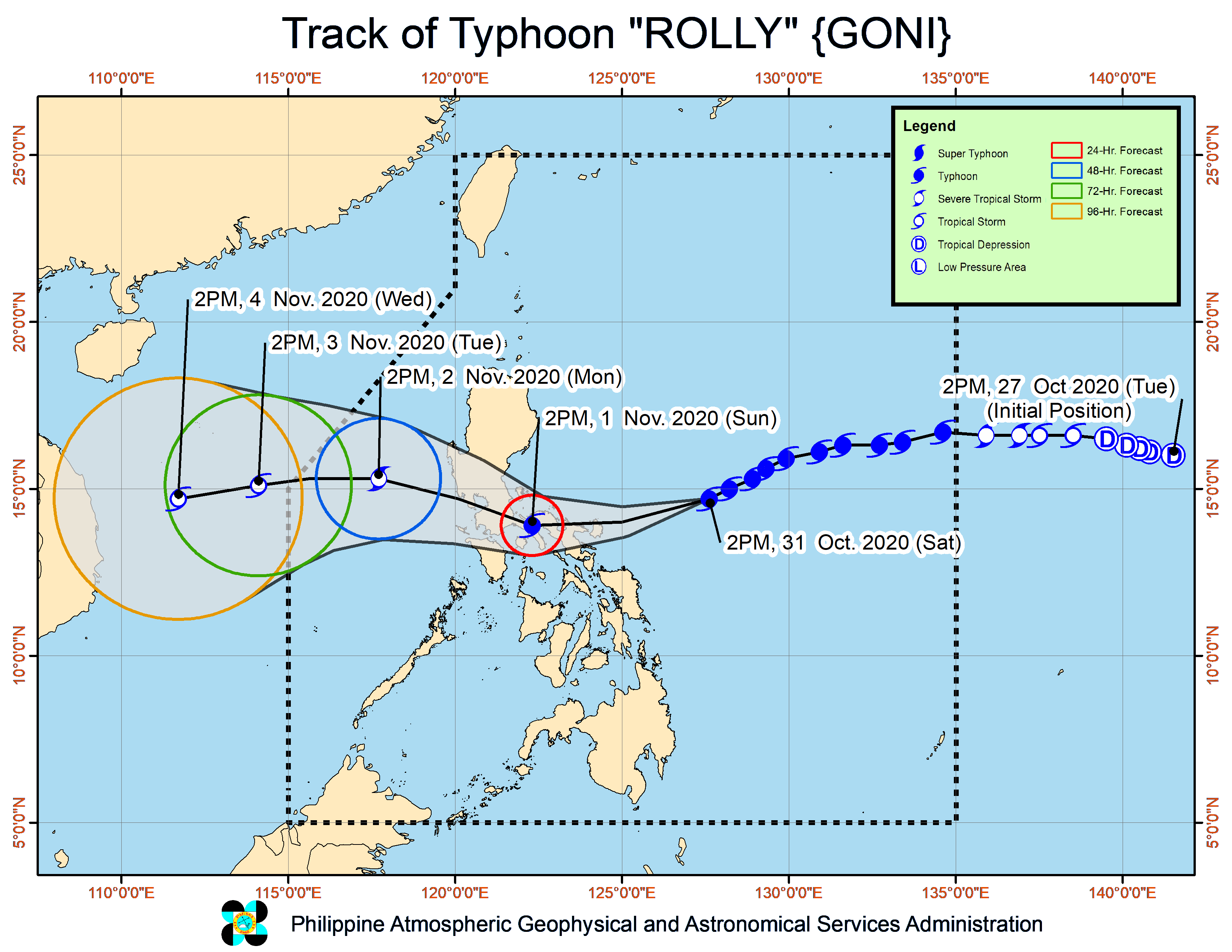
As of 4 p.m., Pagasa said Rolly was last located at 345 kilometers east of northeast Virac, Catanduanes.
The typhoon which is moving west-southwestward at 25 kph, is packing sustained winds of 215 kph near the center and gustiness of up to 265 kph.
Pagasa said Rolly is expected to remain as a typhoon category (185 kph to 205 kph) by the time it makes landfall, which is expected on Sunday afternoon, Nov. 1.
/MUF