Tropical Depression Enteng intensifies, wet weekend seen
MANILA, Philippines — Tropical Depression Enteng has slightly intensified and is expected to develop into a tropical storm by Sunday, according to the state weather bureau.
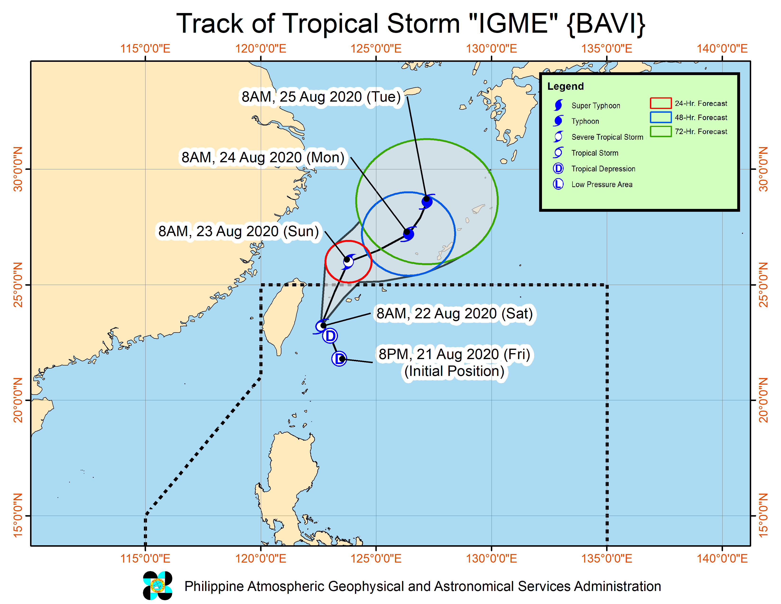
Article continues after this advertisementIn its 11 a.m. weather bulletin on Saturday, the Philippine Atmospheric, Geophysical and Astronomical Services Administration (Pagasa) said that “Enteng” was last spotted at 420 kilometers east northeast of Casiguran, Aurora, or 445 kilometers east of Tugegarao City, Cagayan.
Article continues after this advertisementEnteng packs maximum sustained winds of 55 kilometers per hour (kph) near the center, and gustiness of up to 70 kph.
The tropical depression was also spotted moving north at 25 kph.
State meteorologists forecast that “Enteng” will move near or over the southern islands of the Ryukyu archipelago in Japan, and exit the Philippine Area of Responsibility by Sunday afternoon.
The weather disturbance will bring scattered light to moderate with at times heavy rains over the Bicol Region.
Meanwhile, the southwest monsoon or “habagat” will bring monsoon rains over Zambales, Bataan, Cavite, Batangas, Mindoro provinces, Romblon, and Northern Palawan (including Calamian, Cuyo, and Kalayaan Islands) and occasional rains over Pangasinan, Metro Manila, Western Visayas, and the rest of Central Luzon, Calabarzon (Cavite, Laguna, Batangas, Rizal, Quezon) and Mimaropa (Mindoro, Marinduque, Romblon, Palawan).
gsg