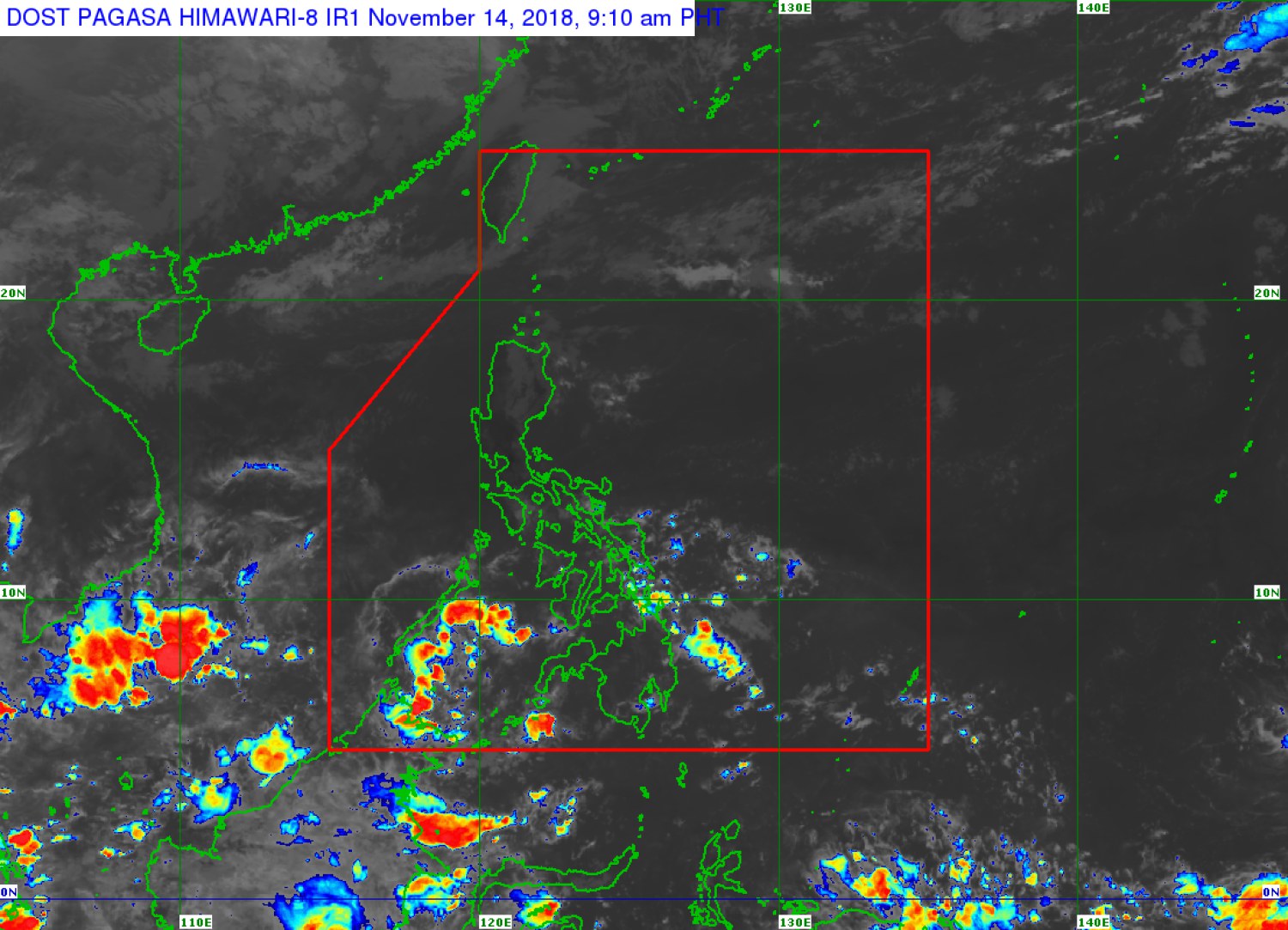
LPA could enter PAR and intensify into a storm — Pagasa
The state weather bureau is tracking two low pressure areas (LPAs), one of which could intensify into a storm in the coming days.
The LPA inside the Philippine area of responsibility (PAR) was spotted 95 kilometers southeast of Hinatuan, Surigao del Sur.
Weather specialist Chris Perez said on Wednesday this weather disturbance is unlikely to intensify into a tropical cyclone but it will bring rains over Eastern Visayas, Mindanao and Palawan.
A new LPA was also monitored 3,045 kilometers east of Mindanao. It may enter PAR on Sunday or Monday.
While on its way to the Philippines, it may intensify into a storm as it remained over water, Perez said.
Article continues after this advertisementCloudy skies with light rains are expected over Metro Manila, Central Luzon, Cordillera region, Ilocos region and Cagayan Valley.
The rest of Luzon and Visayas will have fair weather with chances of localized thunderstorms. /muf
