Tropical Storm Enteng intensifies, to slam into Aurora or Isabela
Tropical Storm Enteng (Photo from the Philippine Atmospheric, Geophysical and Astronomical Services Administration)
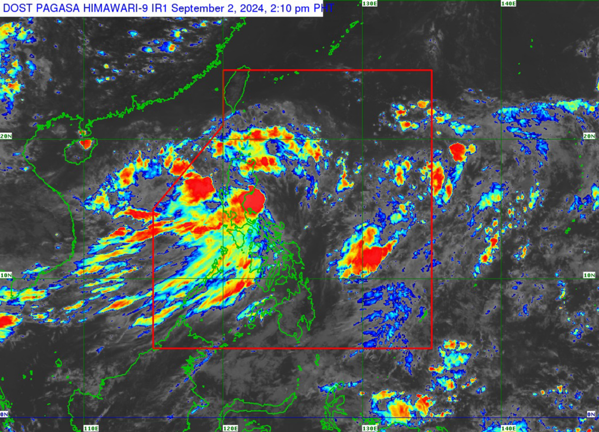
MANILA, Philippines — Tropical Storm Enteng (international name: Yagi) intensified and was about to make landfall over Northern Aurora or Southeastern Isabela, the state weather bureau announced on Monday afternoon.
READ: LIVE UPDATES: Tropical Depression Enteng
“Enteng is forecast to make landfall over the northern portion of Aurora (Dilasag-Casiguran) or the southeastern portion of Isabela (Dinapigue) in the next three hours,” the Philippine Atmospheric, Geophysical and Astronomical Services Administration (Pagasa) said in its 2 p.m. cyclone update.
READ: Storm Enteng to intensify into a typhoon after it exits PAR
Article continues after this advertisementPagasa said Enteng's last known location was in the coastal waters of Casiguran, Aurora. It was moving at 20 kilometers per hour (kph), packing maximum sustained winds of 85 kph near the center and gustiness of up to 105 kph.
Article continues after this advertisementThe following areas remain under wind signals:
Tropical Cyclone Wind Signal (TCWS) Number 2
- Ilocos Norte
- Apayao
- The eastern portion of Kalinga (Rizal, Pinukpuk, City of Tabuk)
- Cagayan including Babuyan Islands
- Isabela
- Quirino
- The northern portion of Aurora (Casiguran, Dilasag, Dinalungan, Dipaculao, Baler)
- Polillo Islands
- The northern portion of Camarines Norte (Santa Elena, Capalonga, Jose Panganiban, Paracale, Vinzons)
TCWS Number 1
- Batanes
- Ilocos Sur
- La Union
- The eastern portion of Pangasinan (Rosales, Asingan, Binalonan, Sison, San Manuel, Santa Maria, Balungao, San Quintin, Tayug, Umingan, Natividad, San Nicolas)
- Abra
- The rest of Kalinga
- Mountain Province
- Ifugao
- Benguet
- Nueva Vizcaya
- The rest of Aurora
- Nueva Ecija
- The eastern portion of Pampanga (Candaba)
- The eastern portion of Bulacan (Doña Remedios Trinidad, Norzagaray, City of San Jose del Monte, Obando, City of Meycauayan, Bocaue, Balagtas, Bustos, Baliuag, Pandi, Santa Maria, Marilao, Angat, San Rafael, San Ildefonso, San Miguel)
- Metro Manila
- The rest of Quezon
- Rizal
- Laguna
- The eastern portion of Batangas (San Juan, Santo Tomas, City of Tanauan, Lipa City, Malvar, Balete, Padre Garcia, Rosario)
- Marinduque
- The rest of Camarines Norte
- Camarines Sur
- Catanduanes
Due to the downpour spawned by Enteng, Metro Manila and other areas of Luzon were placed under orange and yellow rainfall warnings, which could lead to flooding.
According to Pagasa, the tropical storm is expected to turn more northwestward over the landmass of mainland Northern Luzon and emerge over the Luzon Strait by Tuesday.
“For the remainder of tomorrow until mid-Thursday (Sept. 5), Enteng will move generally westward over the Luzon Strait and the West Philippine Sea. This tropical cyclone may exit the Philippine Area of Responsibility on Wednesday (Sept. 4) noon or afternoon,” it added.