Rainy Friday in Mindanao due to Crising, but Luzon to stay hot
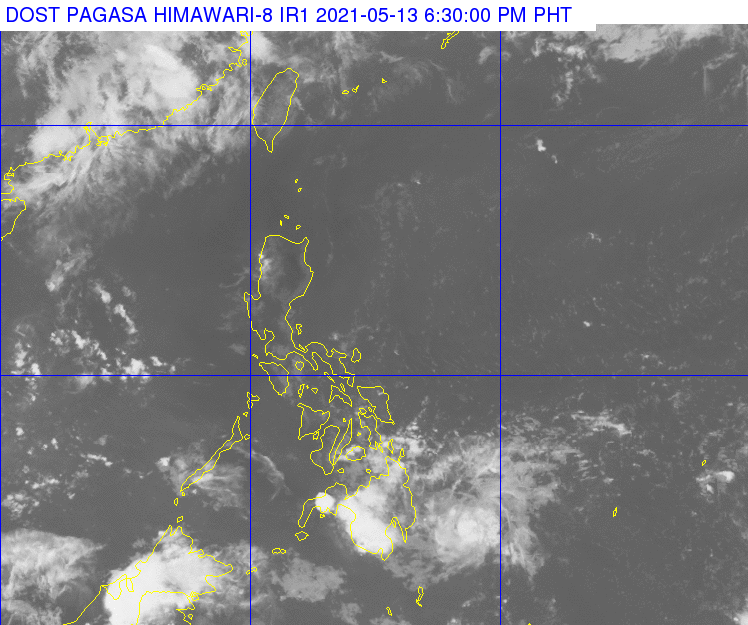
Satellite image of Tropical Storm Crising. Image from Pagasa
MANILA, Philippines — A huge part of Mindanao will experience rains from Friday through weekend due to Tropical Storm Crising, but Luzon and other parts of the country would remain warm and humid according to state meteorologists.
Updates from the Philippine Atmospheric, Geophysical and Astronomical Services Administration (Pagasa) on Thursday showed that moderate to heavy rains would persist from Friday to Saturday in Caraga Region, Davao Oriental, and Northern Mindanao — areas seen to be along Crising’s path.
The remaining parts of Mindanao, plus Central and Eastern Visayas, may also see scattered rains and isolated thunderstorms, but not as strong as what areas near Crising would experience.
Earlier, Pagasa said that Crising was able to maintain its strength, packing maximum sustained winds of 65 kilometers per hour (kph) near the center and gustiness of up to 80 kph.
Pagasa warned that the continuous rains and strong winds may cause flash floods and landslides especially in hazard areas along the storm’s path.
Article continues after this advertisementDue to the rains, temperatures in Visayas and Mindanao would be significantly lower: Davao would have around 24 to 31 degrees Celsius; Cagayan de Oro with 23 to 30 degrees; Tacloban with 26 to 31 degrees; and, Cebu with 25 to 31 degrees. Zamboanga and Iloilo would be warmer, at 24 to 33 degrees and 27 to 32 degrees, respectively.
Article continues after this advertisementFor Luzon, hot weather would persist although isolated rains may occur due to the easterlies’ high moisture content. Metro Manila would have temperatures of 26 to 36 degrees Celsius, Tuguegarao with a scorching 25 to 38 degrees, Laoag with 25 to 33 degrees, Tagaytay at 23 to 32 degrees, Legazpi with 26 to 32 degrees, and Puerto Princesa with 25 to 30 degrees.
Boats are not allowed to set sail over areas under tropical cyclone wind signals, which stretch from Davao del Sur, Davao Oriental, Caraga, Northern Mindanao, and the waters between Negros Oriental and Zamboanga.
Aside from that, sea conditions over Luzon and Visayas’ eastern waters are moderate, while the rest of the country would have a slight to moderate condition.
Latest forecasts from Pagasa showed that Crising would move northwest, hitting the landmass between Surigao del Sur or Davao Oriental between Thursday night and Friday morning.
It would then cross the Mindanao landmass, and by Friday afternoon, it would be in the vicinity of Libona town of Bukidnon, but weakened to a tropical depression. Afterwards, it would continue to move northeast and exit Mindanao Sea, on the way to Palawan.
By Saturday afternoon, it would be around 75 kilometers south of Puerto Princesa City. It would gradually weaken to a low pressure area (LPA) after crossing Palawan, and may leave the Philippine area of responsibility by Sunday afternoon.