Tropical Storm Crising maintains strength; more Mindanao towns under Signal No. 2
MANILA, Philippines — Moderate to heavy rains may prevail over Caraga, Davao Region, Northern Mindanao, SOCCSKSARGEN, Bangsamoro, and Palawan as Tropical Storm Crising continues to move closer to Davao Oriental-Surigao Del Sur area, the state weather bureau said.
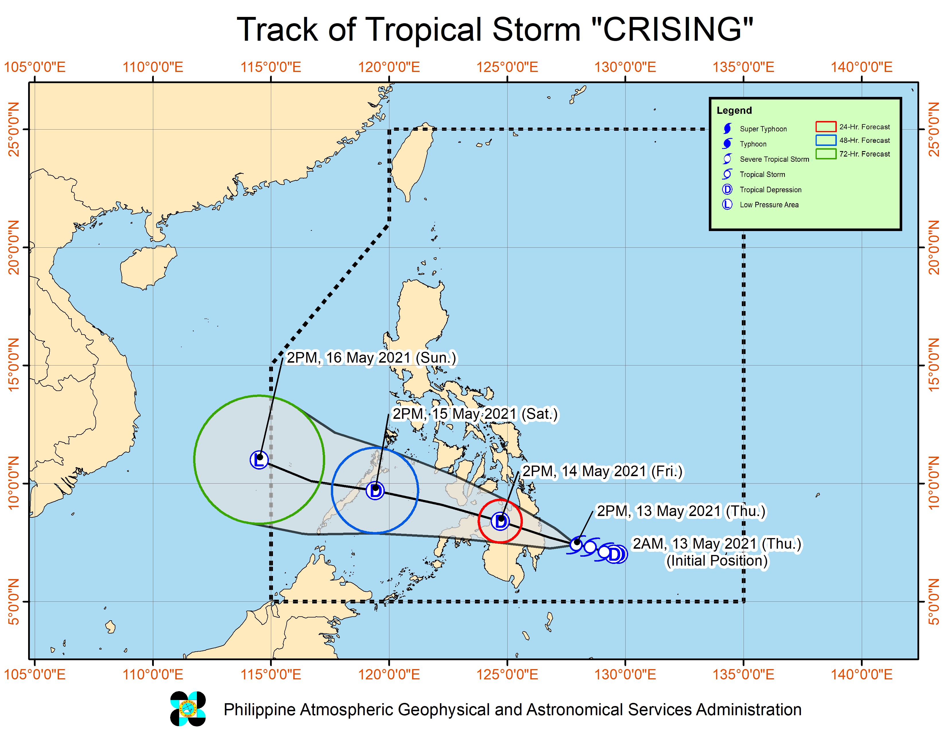
Crising was last located 150 km southeast of Hinatuan, Surigao del Sur moving west northwestward at 25 kilometers per hour (kph) with maximum sustained winds of 65 kph near the center and gustiness of up to 80 km/h, the Philippine Atmospheric, Geophysical and Astronomical Services Administration (Pagasa) said in its 5 p.m. severe weather bulletin update.
The storm is expected to make landfall over the Davao Oriental-Surigao del Sur area between Thursday night and Friday morning and is forecast to remain a tropical storm prior to landfall.
The following areas are under Signal No. 2:
Article continues after this advertisement- southern portion of Surigao del Sur (Tagbina, Hinatuan, City of Bislig, Lingig, Barobo)
- southern portion of Agusan del Sur (Loreto, La Paz, Rosario, Bunawan, Veruela, Santa Josefa, Trento, San Francisco, Talacogon)
- northern portion of Davao Oriental (Boston, Cateel, Baganga)
- northern portion of Davao de Oro (Laak, Monkayo, Montevista, Compostela, New Bataan, Nabunturan,Mawab)
- northern portion of Davao del Norte (Kapalong, San Isidro, Asuncion, New Corella, Talaingod)
Areas under Signal No. 1 are:
Article continues after this advertisementVisayas
- southeastern portion of Negros Oriental (Dumaguete City, Valencia, Sibulan, Santa Catalina, Siaton, Zamboanguita, Dauin, Bacong)
- Siquijor
Mindanao
- Surigao del Norte including Bucas Grande and Siargao Islands,
- the rest of Surigao del Sur
- the rest of Agusan del Sur
- Agusan del Norte
- the rest of Davao Oriental
- the rest of Davao de Oro
- the rest of Davao del Norte
- Davao City
- Bukidnon
- Lanao del Sur
- Lanao del Norte
- Misamis Occidental
- Misamis Oriental
- Camiguin
- the northeastern portion of Zamboanga del Sur (Midsalip, Sominot, Dumingag, Molave, Mahayag, Josefina, Tambulig, Ramon Magsaysay, Aurora, Tukuran, Labangan)
- and the northeastern portion of Zamboanga del Norte (Sergio Osmeña Sr., Katipunan, Pres. Manuel A. Roxas, Jose Dalman, Manukan, Dipolog City, Polanco, Piñan, Mutia, Dapitan City, Sibutad, Rizal, La Libertad)
Pagasa also warned of isolated to scattered flooding (including flash floods) and rain-induced landslides during heavy or prolonged rainfall, especially in areas that are highly or very highly susceptible to these hazards as identified in hazard maps.
Adjacent or nearby areas may also experience flooding in the absence of such rainfall occurrence due to surface runoff or swelling of river channels.
Areas under Signal No. 2 may experience wind gusts between 61 kph to 120 kph in the coming hours, while those under Signal No. 1 would feel wind speeds of 30 kph to 60 kph.
The tropical storm is expected to weaken into a tropical depression on Friday as it traverses the rugged landmass of Mindanao and will emerge over the Sulu Sea on Saturday morning.
Meanwhile, Pagasa noted that moderate to rough seas will be experienced over the eastern seaboard of Mindanao.
“Mariners of small seacrafts are advised not to venture out over these waters. Inexperienced mariners of these vessels should avoid navigating in these conditions.” Pagasa said. With a report from John Gabriel Lalu, INQUIRER.net
RELATED STORY
Crising now a tropical storm; Signal No. 2 in 4 Mindanao areas