Rolly makes 3rd landfall in San Narciso, Quezon
MANILA, Philippines — Typhoon Rolly made its third landfall in the vicinity of San Narciso, Quezon at 12:00 p.m. Sunday, the Philippine Atmospheric, Geophysical, and Astronomical Services Administration (Pagasa) reported.
Typhoon "#RollyPH" made its third landfall in the vicinity of San Narciso, Quezon (13.5°N,122.6°E) at 12:00 PM today.https://t.co/BePYZr9AgJ pic.twitter.com/fxI9WFvXnB
— PAGASA-DOST (@dost_pagasa) November 1, 2020
The typhoon, the strongest to hit the Philippines this year, made its first landfall in the vicinity of Bato, Catanduanes early Sunday morning. It was followed by another landfall in the vicinity of Tiwi, Albay at 7:20 a.m.
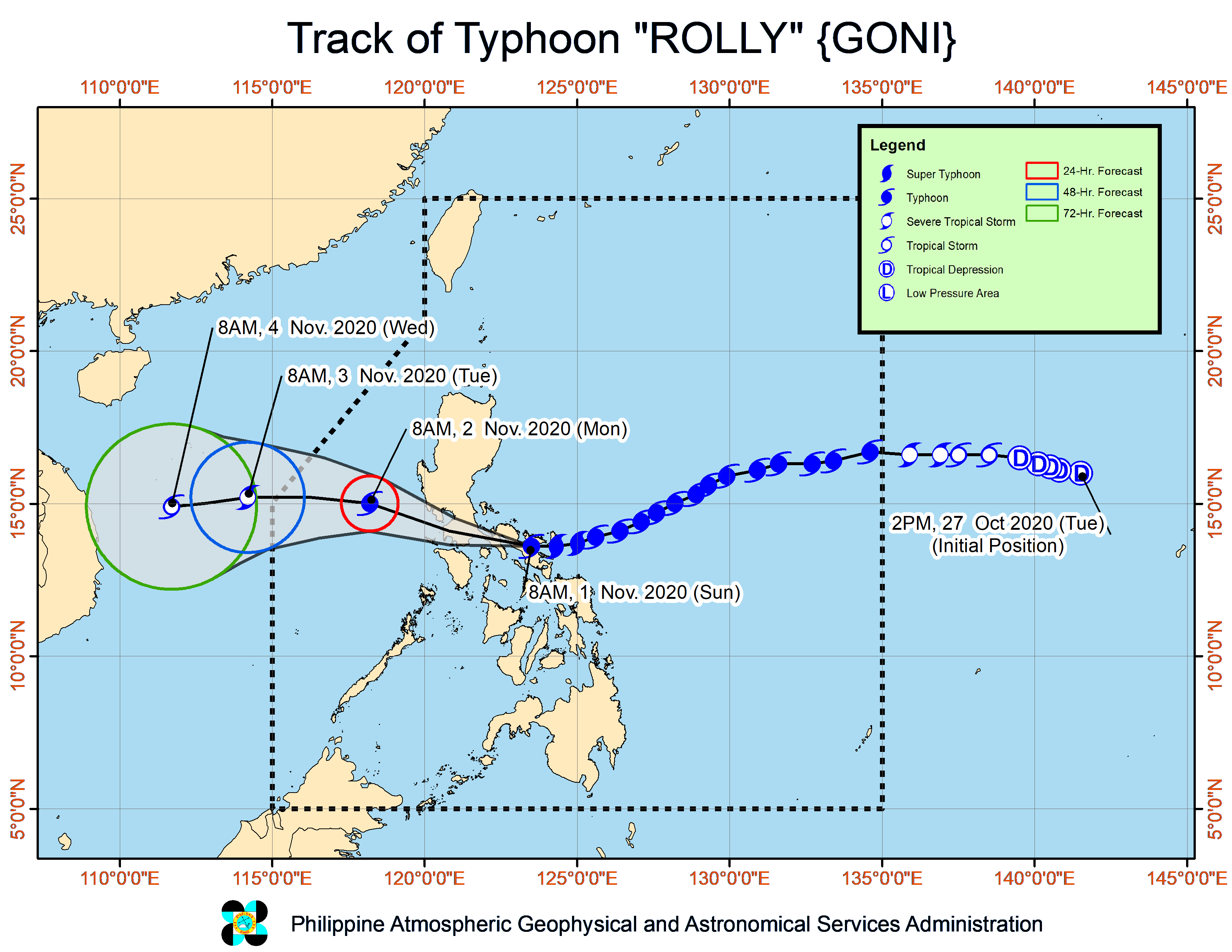
According to Pagasa’s 2:00 p.m. severe weather bulletin, the center of the typhoon will continue to move over the Marinduque-Central Quezon area this afternoon towards the Batangas-Cavite area late afternoon through evening.
It is seen to pass 70 km south of Metro manila between 4:00 to 7:00 p.m.
Article continues after this advertisementPagasa noted that Rolly is expected to exit the mainland Luzon landmass and emerge over the West Philippine Sea on Sunday night.
Article continues after this advertisementDuring its traverse of Southern Luzon, Rolly is expected to weaken but will remain a typhoon over the West Philippine Sea.
As of 1 p.m., the center of the typhoon was last seen over the coastal waters of Mulanay, Quezon. It has maximum sustained winds of 175 km/h near the center and gustiness of up to 240 km/h. it is moving westward at 25 km/h.
The following areas are placed under Tropical Cyclone Wind Signal (TCWS) No. 4 where residents may experience 171-220 km/h winds prevailing or expected in 12 hours:
- Camarines Norte
- northwestern portion of Camarines Sur (Sipocot, Lupi, Ragay, Del Gallego)
- Marinduque
- Metro Manila
- Cavite
- Laguna
- Batangas
- Rizal
- Quezon including Polillo Islands
- Pampanga
- Bulacan
- southern portion of Aurora (Dingalan)
- Bataan
- southern portion of Zambales (San Marcelino, San Felipe, San Narciso, San Antonio, Castillejos, Subic, Olongapo City, Botolan, Cabangan),
- northwestern portion of Occidental Mindoro(Mamburao, Paluan) including Lubang Island
- northern portion of Oriental Mindoro (Victoria, Naujan Lake, Pola, Naujan, Calapan City, Baco, San Teodoro, Puerto Galera)
Signal No. 3:
- rest of Camarines Sur,
- rest of Zambales
- Tarlac
- southern portion of Nueva Ecija (Cuyapo, Talugtug, Muñoz City, Llanera, Rizal, Bongabon, Gabaldon, General Tinio, Laur, Palayan City, General Mamerto Natividad, Cabanatuan City, Santa Rosa, Peñaranda, Gapan City, San Isidro, Cabiao, San Antonio, Jaen, San Leonardo, Zaragoza, Aliaga, Talavera, Santo Domingo, Quezon, Licab, Guimba, Nampicuan)
- central portion of Aurora (San Luis, Baler, Maria Aurora)
- northern portion of Occidental Mindoro (Santa Cruz, Sablayan), Burias Island
- northern portion of Oriental Mindoro (Socorro, Pinamalayan, Gloria, Bansud, Bongabong, Roxas)
- Romblon
Signal No. 2:
- rest of Aurora
- Nueva Vizcaya
- Quirino
- Benguet
- La Union
- Pangasinan
- rest of Nueva Ecija
- Catanduanes
- Albay
- Sorsogon,
- northern portion of Masbate (Aroroy, Mandaon, Balud, Baleno, Milagros, Masbate City, Mobo, Uson, Cawayan, Dimasalang) including Ticao Island,
- rest of Occidental Mindoro
- rest of Oriental Mindoro
Signal No. 1:
- mainland Cagayan
- Isabela
- Apayao
- Kalinga
- Mountain Province
- Ifugao
- Abra
- Ilocos Norte
- Ilocos Sur
- rest of Masbate
- northern portion of Palawan (El Nido, Taytay, Dumaran, Araceli) including Calamian and Cuyo Islands