pagasa.dost.gov.ph
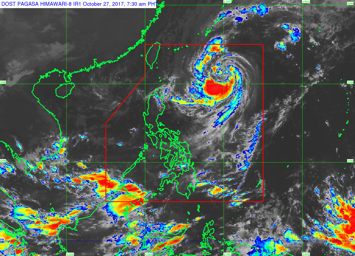
Severe Tropical Storm Quedan (international name Saola) may intensify into a typhoon ahead of its exit from the Philippine area of responsibility on Saturday, the state weather bureau said.
The storm was last spotted 915 kilometers east of Basco, Batanes, with winds of 90 kilometers per hour (kph) near the center and gustiness of up to 115 kph, the Philippine Atmospheric Geophysical and Astronomical Services Administration (Pagasa) said on Friday.
Quedan moved 21 kph and if it continues its track, it is out of PAR by Saturday morning, weather forecaster Chris Perez said.
The storm has no direct effect to the country, but the intertropical convergence zone over Mindanao will bring cloudy skies with scattered rains and thunderstorms over Zamboanga Peninsula, Northern Mindanao, Caraga, and Palawan.
The northeasterly surface wind flow would bring partly cloudy to cloudy skies with isolated light rains over the Ilocos region, Cordillera, and Cagayan Valley.
Metro Manila and the rest of the country is predicted to have partly cloudy to cloudy skies with isolated rains or thunderstorms. /kga