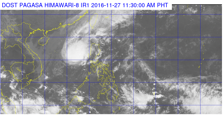
This satellite image from Pagasa shows the location of tropical storm Marce as of 11:30 a.m. Sunday.
Tropical storm “Marce” (international name: Tokage) has changed directions as it continued to move at a slow pace away from the Philippine Area of Responsibility (PAR), the state weather bureau has said.
In its 11 a.m. bulletin, the Philippine Atmospheric, Geophysical and Astronomical Services Administration (Pagasa) said Marce packed maximum sustained winds of up to 85 kilometers per hour near the center and gustiness of up to 105 kph.
Marce was last plotted at 305 km west of Dagupan City in Pangasinan, as it moved from just a northern direction to north northwest at 11 kph.
Pagasa said the storm is expected to exit PAR on Monday, adding that it has no direct effect on any part of the country. Tropical cyclone warning signals were already lifted on Saturday.
Marce is expected to be at 385 km west of Sinait, Ilocos Sur on Monday morning; 685 km north of Pagasa Island, Palawan on Tuesday morning; and 545 km northwest of Pagasa Island on Wednesday morning. IDL/rga
RELATED STORIES
‘Marce’ maintains strength as it makes way out of PH
‘Marce’ intensifies into tropical storm, to exit PAR Sunday