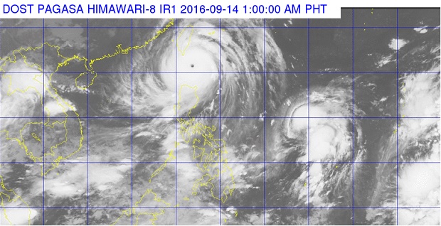
Satellite image from PAGASA.DOST.GOV.PH
The state weather bureau said typhoon “Ferdie” is expected to exit the Philippine Area of Responsibility (PAR) on Wednesday afternoon, as storm warning signals were lowered.
In its 11 a.m. bulletin, the Philippine Atmospheric, Geophysical and Astronomical Services Administration (Pagasa) said Ferdie will leave PAR within the next two to three hours.
Signal No. 2 was hoisted over Batanes, while the Babuyan Group of Islands is under Signal No. 1.
Ferdie, which made landfall over Itbayat, Batanes on Tuesday night, was last plotted at 215 km Northwest of Basco, Batanes, as it moves west northwest at 20 kilometers per hour.
The typhoon has maximum sustained winds of up to 210 kph near the center and gustiness of up to 245 kph.
Moderate to heavy rains are expected within Ferdie’s 600-km diameter, Pagasa added.
READ: ‘Ferdie’ barrels toward Taiwan
Typhoon Gener, meanwhile, was located at 1,225 km east of Baler, Aurora, as it moves northwest at 25 kph. It has maximum sustained winds of up to 130 kph near the center and gustiness of up to 160 kph.
Gener is not expected to make landfall.
Gener is expected to be at 750 km East of Aparri, Cagayan on Thursday morning; 370 km East Northeast of Itbayat, Batanes on Friday morning; 710 km North Northeast of Itbayat, Batanes or outside PAR on Saturday morning; 1,310 km North Northeast of Itbayat on Sunday morning; and 1,825 km Northeast of Itbayat on Sunday morning. CDG
READ: Batanes loses power as typhoon Ferdie strikes