SCREENGRAB from Pagasa’s Facebook page
The tropical cyclone expected to enter the Philippine area of responsibility (PAR) on Wednesday afternoon is heading towards the eastern part of Mindanao based on forecast models, the state weather bureau said.
READ: New storm to enter PAR Wednesday afternoon
The tropical depression, which will be locally named “Onyok,” is still too far to affect the country and its track may still change, said Raymond Ordinario of the Philippine Atmospheric, Geophysical and Astronomical Services Administration on Wednesday.
The weather disturbance, last tracked 1,424 east southeast of Mindanao, may intensify as it remained at sea.
There is also a possibility that it will make landfall, he said.
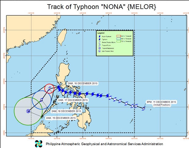
Typhoon “Nona” (international name: “Melor”), meanwhile, will exit the PAR on Friday after dumping heavy rains in parts of Southern Luzon and Eastern Visayas.
READ: ‘Nona’ on way out; new storm coming
It made landfall five times since Monday night. It has slowed down and weakened since then. It will exit the PAR as a low pressure area. RAM