SCREENGRAB from Pagasa’s Facebook page
Tropical storm “Lando” (international name: Koppu) continued to move in the extreme Northern Luzon track on Thursday, the state weather bureau said.
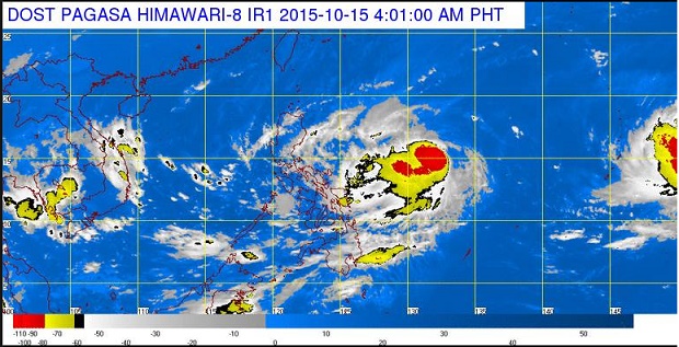
At 5 a.m., the storm was located 1,185 kilometers east of Baler in Aurora with maximum sustained winds of 65 kilometers per hour near the center and gusts of up to 80 kph, the Philippine Atmospheric, Geophysical and Astronomical Services Administration (Pagasa) said.
The storm moved west at 22 kph. No public storm signals were raised so far.
Panahon.TV said that the storm may make landfall in Cagayan Valley on Sunday evening or early Tuesday. It is expected to exit the Philippine Area of Responsibility on Tuesday.
It may also intensify into a typhoon despite the presence of the northeast monsoon or “hanging amihan.”
The northeast monsoon is affecting Northern and Central Luzon, Pagasa said.
Cloudy skies with light rains will be experienced over Cordillera, Ilocos Region, Cagayan Valley and Central Luzon while light to moderate rains and isolated thunderstorms will be expected over Metro Manila, Bicol Region and the provinces of Rizal, Quezon and Samar.
Partly cloudy to cloudy skies with isolated thunderstorms will prevail over the rest of the country.
Moderate to strong winds blowing from the northeast to northwest will prevail over Luzon and Eastern Visayas and the coastal waters along these areas will be moderate to rough.
Elsewhere, winds will be light to moderate coming from the northeast to northwest with slight to moderate seas. RAM
RELATED STORIES
Storm ‘Lando’ threatens N. Luzon
Tropical storm ‘Lando’ enters PAR