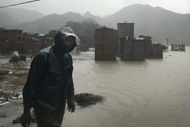
New typhoon to enter PH next week

AP file photo
Another typhoon may enter the Philippine area of responsibility (PAR) by the middle of next week, but the state weather bureau said it does not appear to be headed for land.
The tropical depression, which was spotted Friday morning over the Pacific Ocean about 2,500 kilometers away from the Philippines, is expected to intensify while at sea.
The Philippine Atmospheric Geophysical Astronomical Services Administration (Pagasa) said it was too early to say whether the cyclone will become a supertyphoon with maximum sustained winds of at least 220 kilometers per hour.
“While at sea, it will possibly intensify but it is still too far, there are still many scenarios,” Pagasa forecaster Benison Estareja said.
“It is possible it will enter (the PAR) but there is a small chance it will make landfall,” he added.
Article continues after this advertisementHe said the cyclone, which was moving west northwest, may possibly reach the country on Wednesday or Thursday.
Article continues after this advertisementIts track indicated it will pass through the country’s northern boundaries, like Typhoon “Hanna” (international name “Soudelor”) last week.
The new cyclone will be given the international name “Goni” (Korean for swan) once it intensifies into a storm.
It will be locally named “Ineng,” the ninth cyclone to hit the country this year, once it is within the PAR.
Estareja said Pagasa was also monitoring a second potential cyclone from a low pressure area in the Pacific.
He said a second tropical depression might be formed but was not likely headed toward the Philippines.
Typhoon Hanna became the world’s strongest typhoon so far this year, but it spared the country from a direct hit since it did not make landfall.
It weakened slightly when it entered the PAR on Aug. 5. It battered the country’s northern islands and intensified monsoon rains over most of the country until it left on Aug. 8.