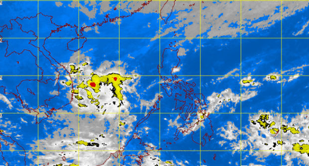
MT Satellite image December 2, 2014 11:01 a.m. Screengrab from https://www.pagasa.dost.gov.ph/
MANILA, Philippines—“Hagupit,” the storm seen to enter the Philippine area of responsibility (PAR) may arrive sooner than expected, state-run Panahon TV said midday Tuesday.
The storm is “fast approaching PAR” and was last spotted at 2,405 kilometers east of Mindanao as of 8a.m.
It is expected to enter the PAR on Thursday morning despite being originally forecast to enter PAR on Friday.
There are two scenarios for the storm: First, it is forecast to recurve and head towards Japan as the high pressure area (HPA) weakens. Second, it is expected to make landfall in the Visayas due to the strong presence of HPA.
Once it enters PAR, Hagupit will be locally named “Ruby.”
RELATED STORIES
Pagasa: Cyclone headed toward PH
‘Hagupit’ threatens Southern Mindanao