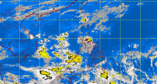
MT Satellite image December 1, 2014 9:01 a.m. Screengrab from https://www.pagasa.dost.gov.ph/
MANILA, Philippines — The state weather bureau is tracking a cloud formation over the Pacific Ocean that could develop into a storm and enter the Philippine area of responsibility (PAR) by Friday.
The low pressure area (LPA) was 2,000 kilometers east of Mindanao, Aldczar Aurelio, weather forecaster of the Philippine Atmospheric Geophysical and Astronomical Services Administration (Pagsasa) told INQUIRER.net.
While over the sea, the LPA could intensify into a cyclone before it enters the PAR.
Aurelio said this LPA could potentially follow the track of Supertyphoon Yolanda (international name: Haiyan), the strongest storm of 2013.
He added that while this possible cyclone could shift course and not make landfall, it is likely to strike land over the Philippines.
Aurelio noted that cyclones that develop near the equator during the northeast monsoon or the amihan season normally head toward the Visayas or Mindanao.
Up to two cyclones are expected in December, Pagasa earlier said.
Another low pressure area near Romblon dissipated Sunday afternoon.
RELATED STORIES
2 more storms before yearend–Pagasa
Pagasa seeks larger 2015 budget after ‘Yolanda’