Typhoon ‘Paeng’ expected to exit PH Tuesday afternoon
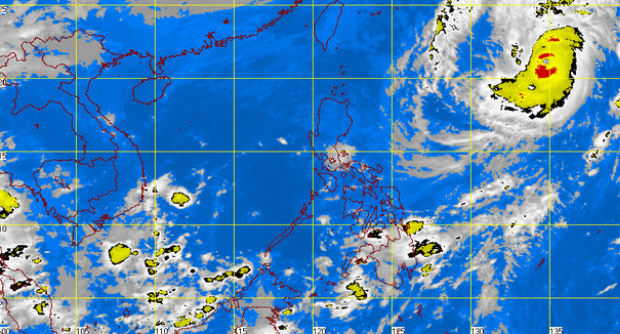
MT Satellite image November 4, 2014, 6:01 a.m. Screengrab from https://www.pagasa.dost.gov.ph/
MANILA, Philippines–Typhoon “Paeng” is expected to exit the country Tuesday afternoon after lingering in the Philippine area of responsibility for several days.
In its bulletin early Tuesday, the Philippine Atmospheric, Geophysical and Astronomical Administration (Pagasa) said Paeng was spotted 1,295 kilometers east of Basco, Batanes, as of 4 a.m.
Paeng packs maximum sustained winds of 195 kilometers per hour near the center and gusts of 230 kph while moving northeastward at a pace of 15 kph.
Despite its strength, Paeng does not pose any direct impact on the Philippine landmass, said Pagasa, which did not raise any public storm warning signal.
Cold weather is expected as the northeast monsoon affects northern Luzon.
Article continues after this advertisementCentral Visayas and Mindanao will have cloudy skies with light to moderate rainshowers and thunderstorms while Cagayan Valley, Cordillera and Ilocos Region will experience partly cloudy skies with isolated light rains.
Metro Manila and the rest of the country will be partly cloudy to cloudy with isolated rainshowers and thunderstorms.
Responding to appeals for help, the Inquirer is extending its relief efforts to the families affected by Typhoon Paeng. Cash donations may be deposited in the Inquirer Foundation Corp. Banco De Oro (BDO) Current Account No.: 007960018860 and through Maya