Storm ‘Paeng’ expected to skirt PH–Pagasa
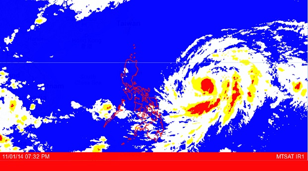
Project NOAH MTSAT image as of November 01, 2014, 7:32 PM. Screengrab from https://noah.dost.gov.ph/
MANILA, Philippines – Tropical Storm “Paeng” (international name Nuri) is expected to completely avoid the country’s land mass and head instead for Japan, leaving the Philippine area of responsibility by Wednesday.
The Philippine Atmospheric, Geophysical and Astronomical Services Administration said that while there was still a chance for Paeng to intensify into a typhoon as it moves over the Philippine Sea, its effects would not be directly felt in any part of the country.
Forecaster Jun Galang told the Philippine Daily Inquirer that the storm, which as of 4 p.m. was 985 kilometers east of Virac, Catanduanes, with sustained winds of 95 kph and gusts of up to 120 kph, was expected to change direction before it gets nearer the country’s land mass.
Galang said that from its northwest track, Paeng would do a recurve heading northeast toward the southeastern part of Japan.
“The recurve is expected to happen in one or two days (Sunday or Monday). By Wednesday Paeng could exit the PAR,” he said, explaining that the recurve would be caused by the storm’s interaction with the tail-end of a cold front.
Article continues after this advertisementThe forecaster added that Paeng, even if it further intensifies into a typhoon, will not directly affect the country because of its distance although it would enhance the amihan or northeast monsoon prevailing over Northern Luzon.
Article continues after this advertisementHe cautioned fishing boats and other small vessels against venturing out to sea off the eastern coasts of Luzon and the Visayas where seas were expected to be rough to very rough because of strong to gale-force winds caused by the surge of the enhanced amihan.
Bigger ships are alerted to waves that could reach up to 4.5 meters.
According to Pagasa’s forecast for Sunday the Bicol Region, Calabarzon, Mimaropa, the Visayas, Zamboanga Peninsula, Northern Mindanao and Caraga will have cloudy skies with light to moderate rainshowers and thunderstorms.
The Ilocos and Cagayan Valley regions as well as the Cordillera Administrative Region will have partly cloudy skies with isolated light rains while Metro Manila and the rest of the country will be partly cloudy to cloudy with isolated rainshowers or thunderstorms.
RELATED STORIES
Tropical Storm ‘Paeng’ here, but not for long
Nuri may not make landfall in PH and instead for Japan–Pagasa
Responding to appeals for help, the Inquirer is extending its relief efforts to the families affected by Typhoon Paeng. Cash donations may be deposited in the Inquirer Foundation Corp. Banco De Oro (BDO) Current Account No.: 007960018860 and through Maya