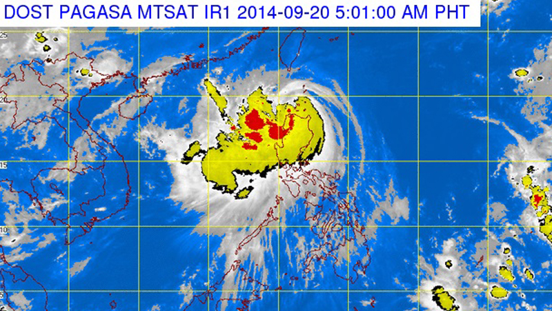
In its bulletin, the Philippine Atmospheric, Geophysical and Astronomical Services Administration said that “Mario” now packs maximum sustained winds of 95 kilometers per hour near the center and gusts of 120 kph.
Pagasa added that “Mario” moves north at a pace of 15 kph.
In their previous bulletin, Pagasa said that the storm had strengths of 75 kph winds near the center and gusts of 90 kph while moving at a pace of 17 kph.
“Mario” was last spotted at 4 a.m. at 137 kilometers northwest of Laoag City.
Pagasa raised public storm warning signal no. 2 over Calayan and Babuyan Group of Islands, Batanes Group of Islands, Apayao and Ilocos Norte.
Areas under public storm warning signal no. 2 would experience winds of 61 kph to 100 kph for the next 24 hours.
Cagayan, Kalinga, Abra and Ilocos Sur are under public storm warning signal no. 1 and would experience winds of 30 kph to 60 kph for the next 36 hours.
Along with the lingering southwest monsoon, “Mario” would bring moderate to strong rains over Central Luzon and the rest of Northern Luzon.
Pagasa also raised a yellow rainfall warning over Zambales, Tarlac and Nueva Ecija with the said areas set to experience 7.5 millimeters to 15 mm or two gallons of rain per square meter.
Also, Cavite, Bataan, Bulacan, Metro Manila and Pampanga would experience light to moderate with occasional heavy rains for the next three hours.
RELATED STORIES
4 dead as ‘Mario’ continues to move away from PAR
Red rainfall warnings lifted, Metro Manila still on Yellow