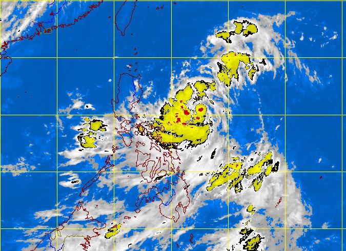
MTSAT ENHANCED-IR Satellite Image 6:32 p.m., 09 July 2012
MANILA, Philippines – A shallow low pressure area (SLPA) spotted off near Palawan Monday will bring rains within the area, the state weather bureau said.
The SLPA, seen 180 kilometers northwest of Palawan and embedded along the intertropical convergence zone, has a little chance to become a cyclone, the Philippine Atmospheric Geophysical and Astronomical Services Administration said.
An ITCZ is a merging of winds from different directions and a breeding ground for potential cyclones.
Southern Luzon, Visayas and Mindanao will experience mostly cloudy skies with scattered rainshowers and thunderstorms becoming cloudy with widespread rains over Palawan which may trigger flashfloods and landslides.
The rest of the country will be partly cloudy to cloudy with isolated rainshowers or thunderstorms, Pagasa said.
Light to moderate winds blowing from the Southeast will prevail over Luzon and coming from Southwest to Southeast over the rest of the country. The coastal waters throughout the archipelago will be slight to moderate. Frances Mangosing