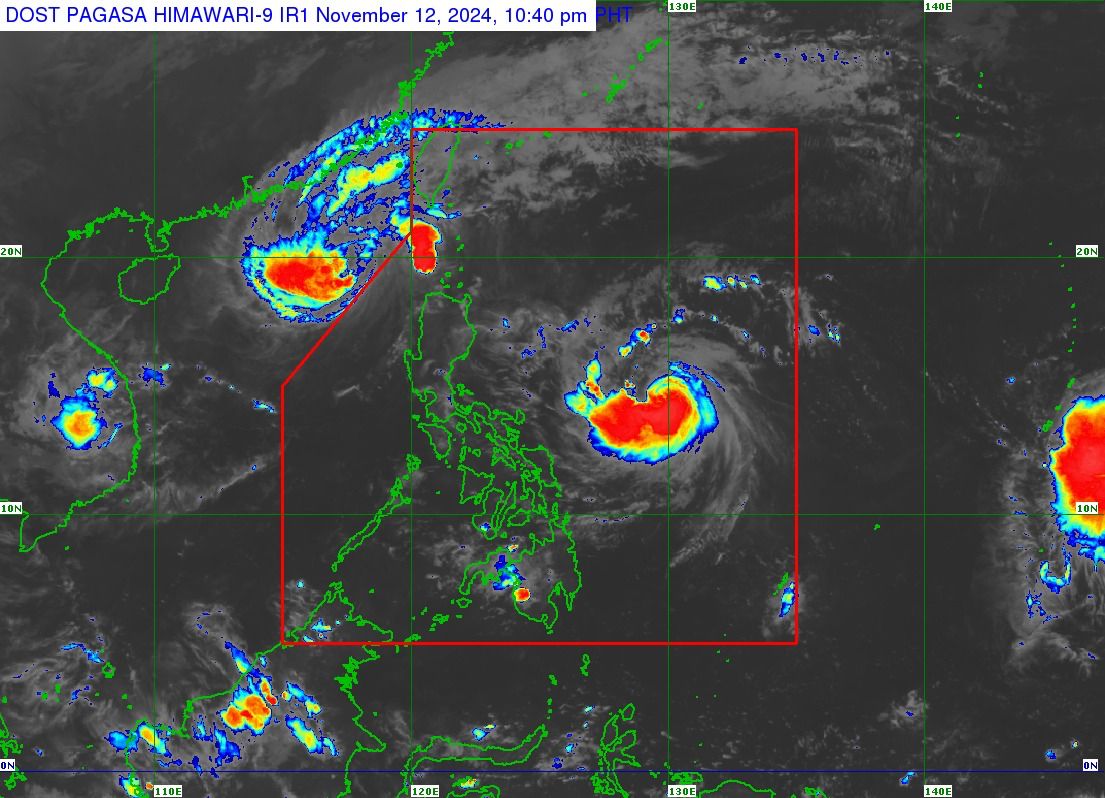
Typhoon Ofel is seen inside the red line while another storm approaching is on the lower right side, coming from south of Guam. (Satellite photo from Pagasa)
MANILA, Philippines — A tropical storm bearing the international name Man-yi may enter the Philippine area of responsibility (PAR) on Thursday evening, according to the Philippine Atmospheric, Geophysical and Astronomical Services Administration (Pagasa).
It will be assigned the local name “Pepito” once it enters PAR.
In a morning bulletin on Wednesday, Man-yi was last spotted some 2,210 kilometers east of Eastern Visayas, still outside the Philippines.
It packs maximum sustained winds of 75 kilometers per hour (kph), with gusts of up to 90 kph.
Man-yi may intensify into a severe tropical storm on Wednesday and reach the typhoon category by Thursday afternoon or evening.
“Man-yi is expected to make landfall over Northern or Central Luzon by Sunday afternoon or evening,” Pagasa added.
“Due to the high-pressure area over the south of Japan, Man-yi is forecast to move southwestward over the next 12 hours before turning generally westward while approaching the eastern boundary of the PAR,” the state weather bureau noted.
Man-yi will be the 16th tropical cyclone to enter the PAR in 2024 and the fourth for November, following Typhoon Ofel (international name: Usagi).
READ: Ofel now a typhoon; 6 areas under Signal No. 1