Storm surge warning up over Batanes, Cagayan

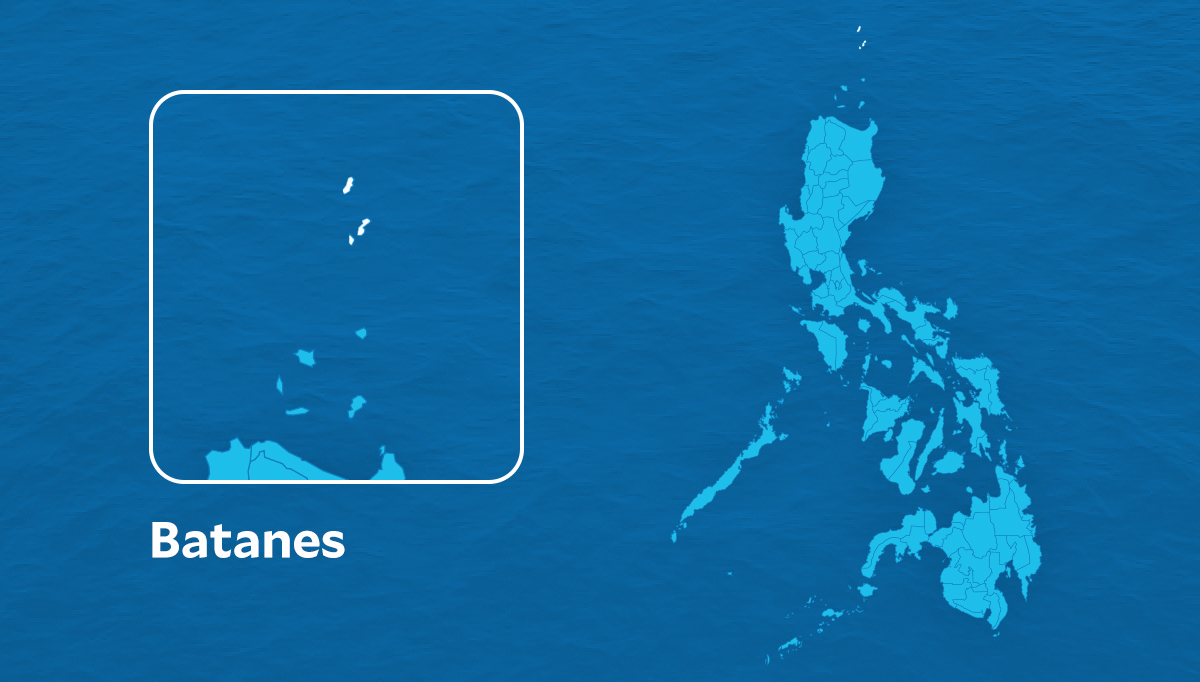
MANILA, Philippines — The state weather bureau on Tuesday warned that Typhoon Leon (international name: Kong-rey) might cause a storm surge within the next 48 hours in the low-lying coastal areas of Batanes and Cagayan.
An estimated storm surge of 2.1 to 3 meters may be expected in the areas, according to the Philippine Atmospheric, Geophysical, and Astronomical Services Administration (Pagasa).
Areas threatened by storm surge as of 2 p.m. Tuesday
Batanes
- Bacso
- Itbayat
- Ivana
- Mahatao
- Sabtang
- Uyugan
Cagayan
- Calayan
Storm surge danger
State meteorologists said a storm surge may cause moderate to significant damage to communities, coastal or marine infrastructures and disruptions to all marine-related activities.
Article continues after this advertisementRiver flooding and beach erosion may also be possible during a storm surge, Pagasa added.
Article continues after this advertisementPagasa advised residents to evacuate from these coastal areas, cancel all marine activities, and monitor weather updates.
Typhoon Leon was last spotted some 590 kilometers east of Tuguegarao City, moving west-northwest at 10 kilometers per hour (kph), with a maximum sustained wind speed of 130 kph near the center and gusts of up to 160 kph.
Due to Leon’s intensification, Pagasa raised Tropical Cyclone Wind Signal No. 2 over four areas in Luzon while 20 other areas are under TCWS Signal No. 1.