LPA outside PAR may become tropical depression Friday – Pagasa
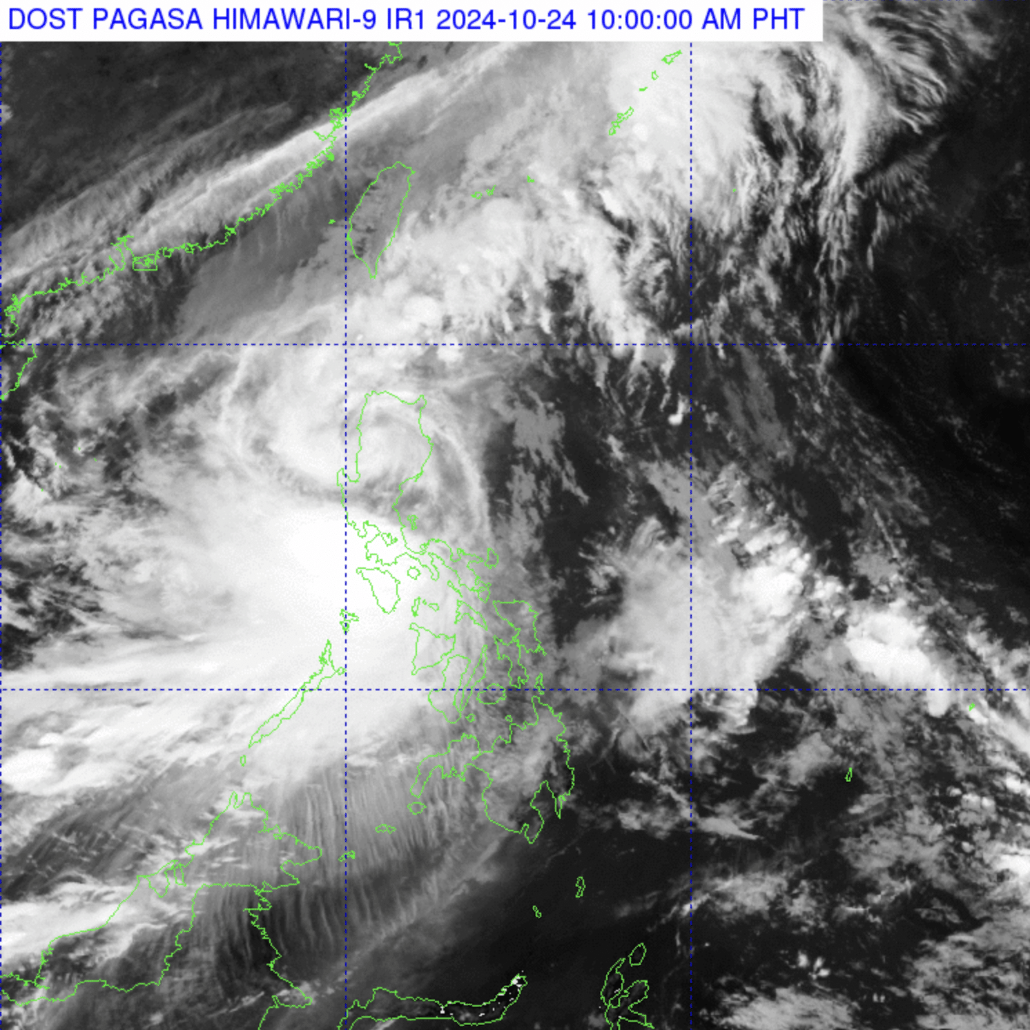
Satellite image from Pagasa
MANILA, Philippines — A low-pressure area (LPA) has developed east of Mindanao approximately 2,400 kilometers away from the Philippine landmass, according to the Philippine Atmospheric, Geophysical and Astronomical Services Administration (Pagasa).
In a press briefing on Thursday, state weather specialist Benison Estareja said that the LPA is highly likely to intensify into a tropical depression.
“Within the next 24 hours, mataas ang tsansa na ito ay magiging isang tropical depression or mahinang bagyo but within the next three days po ay malayo pa rin ito sa ating kalupaan at walang inaasahang direktang epekto sa ating bansa,” Estareja explained.
(Within the next 24 hours, there is a high chance that this will develop into a tropical depression or a weak storm, but for the next three days, it is still far from our landmass and is not expected to impact the country directly.)
The state weather bureau added that it will continue to observe the LPA as it may enter the Philippine area of responsibility (PAR) early next week.
Article continues after this advertisement“Patuloy ang ating magiging monitoring for this low-pressure area dahil possible rin itong pumasok ng ating PAR early next week,” Estareja said.
Article continues after this advertisement(We will continue monitoring this low-pressure area as it is also possible for it to enter PAR early next week.)
Pagasa also advised the public to stay updated on further weather advisories.
LIVE UPDATES: Tropical Storm Kristine
In a separate bulletin, Pagasa reported that Severe Tropical Storm Kristine is now over the Cordillera Administrative Region as it moves westward at 20 kilometers per hour (kph) over northern Luzon.
READ: Kristine is now over Cordillera Region crossing Northern Luzon – Pagasa
Kristine is whirling maximum sustained winds of 95 kph near its center, with gusts of up to 160 kph, according to Pagasa.
It may slightly weaken while crossing Northern Luzon due to land interaction and is forecast to exit the PAR on Friday afternoon.